Approximate Location Map
Large Map »
Latitude: 57.6093 / 57°36'33"N
Longitude: -3.616 / 3°36'57"W
OS Eastings: 303545
OS Northings: 858845
OS Grid: NJ035588
Mapcode National: GBR K8FM.4B8
Mapcode Global: WH5HB.F0BH
Plus Code: 9C9RJ95M+PJ
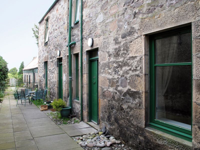
Entry Name: 135C High Street, Forres
Listing Name: 135C High Street (Through Pend)
Listing Date: 30 March 1983
Category: C
Source: Historic Scotland
Source ID: 372970
Historic Scotland Designation Reference: LB31671
Building Class: Cultural
ID on this website: 200372970
Location: Forres
County: Moray
Town: Forres
Electoral Ward: Forres
Traditional County: Morayshire
Tagged with: House
Mid 19th century. 2-storey, 2-bay dwelling; rubble, tooled
ashlar dressings; slate roof.
Former Item 55 (1983 Revised List)
External links are from the relevant listing authority and, where applicable, Wikidata. Wikidata IDs may be related buildings as well as this specific building. If you want to add or update a link, you will need to do so by editing the Wikidata entry.


Other nearby listed buildings
