Approximate Location Map
Large Map »
Latitude: 55.7969 / 55°47'48"N
Longitude: -4.2504 / 4°15'1"W
OS Eastings: 259018
OS Northings: 658245
OS Grid: NS590582
Mapcode National: GBR 3S.7T06
Mapcode Global: WH3PG.PK6D
Plus Code: 9C7QQPWX+PR
Entry Name: Mid Netherton Farmhouse And Steading, 652 Carmunnock Road, Glasgow
Listing Name: Carmunnock 652 Carmunnock Road, Mid Netherton Farmhouse and Steading
Listing Date: 12 October 1989
Category: C
Source: Historic Scotland
Source ID: 376934
Historic Scotland Designation Reference: LB33318
Building Class: Cultural
ID on this website: 200376934
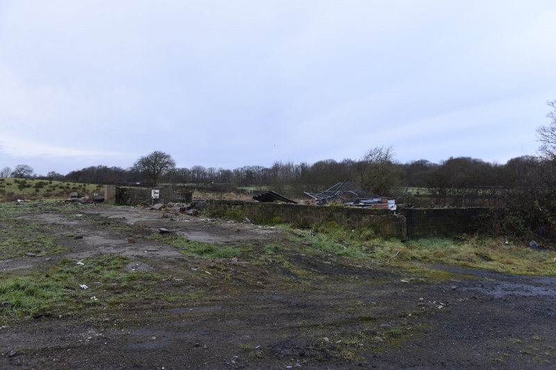
Earlier/mid 19th century, symmetrical U-plan arrangement
of farmhouse and steading. South-facing, rubble-built,
ashlar dressings, slate roofs. HOUSE is single storey
with attic, 3 bays, centre hooded doorway, door with
rectangular fanlight, single windows in outer bays (19th
century attic dormers) all plate glass sashes; end
stacks; STEADING ranges both L-plan sharing common gable
with house; ranges return south and have gabled ends.
External links are from the relevant listing authority and, where applicable, Wikidata. Wikidata IDs may be related buildings as well as this specific building. If you want to add or update a link, you will need to do so by editing the Wikidata entry.


Other nearby listed buildings
