Approximate Location Map
Large Map »
Latitude: 55.9556 / 55°57'19"N
Longitude: -2.7776 / 2°46'39"W
OS Eastings: 351541
OS Northings: 673887
OS Grid: NT515738
Mapcode National: GBR 2R.XZW6
Mapcode Global: WH7TY.9KKR
Plus Code: 9C7VX64C+6W
Entry Name: 66-67 High Street, Haddington
Listing Name: 66, 67 High Street
Listing Date: 5 February 1971
Category: B
Source: Historic Scotland
Source ID: 378411
Historic Scotland Designation Reference: LB34190
Building Class: Cultural
Also known as: Haddington, 66-67 High Street
ID on this website: 200378411
Location: Haddington
County: East Lothian
Town: Haddington
Electoral Ward: Haddington and Lammermuir
Traditional County: East Lothian
Tagged with: Architectural structure
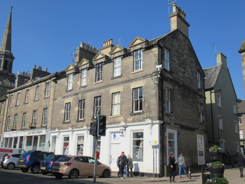
Mid 19th century 3-storey building regular coursed rubble
with painted ground floor; Jacobethan detailing at string
course: 5-window at 1st floor: 5 triangular pedimented dormer
heads, slated roof.
External links are from the relevant listing authority and, where applicable, Wikidata. Wikidata IDs may be related buildings as well as this specific building. If you want to add or update a link, you will need to do so by editing the Wikidata entry.


Other nearby listed buildings
