Approximate Location Map
Large Map »
Latitude: 55.9517 / 55°57'6"N
Longitude: -2.7743 / 2°46'27"W
OS Eastings: 351746
OS Northings: 673460
OS Grid: NT517734
Mapcode National: GBR 2S.Y0MY
Mapcode Global: WH7TY.CN4P
Plus Code: 9C7VX62G+M7
Entry Name: Malt Buildings, Poldrate, Haddington
Listing Name: Malt Buildings Poldrate
Listing Date: 5 December 1977
Category: B
Source: Historic Scotland
Source ID: 378647
Historic Scotland Designation Reference: LB34403
Building Class: Cultural
Also known as: Haddington, Poldrate, Malt Buildings
ID on this website: 200378647
Location: Haddington
County: East Lothian
Town: Haddington
Electoral Ward: Haddington and Lammermuir
Traditional County: East Lothian
Tagged with: Architectural structure
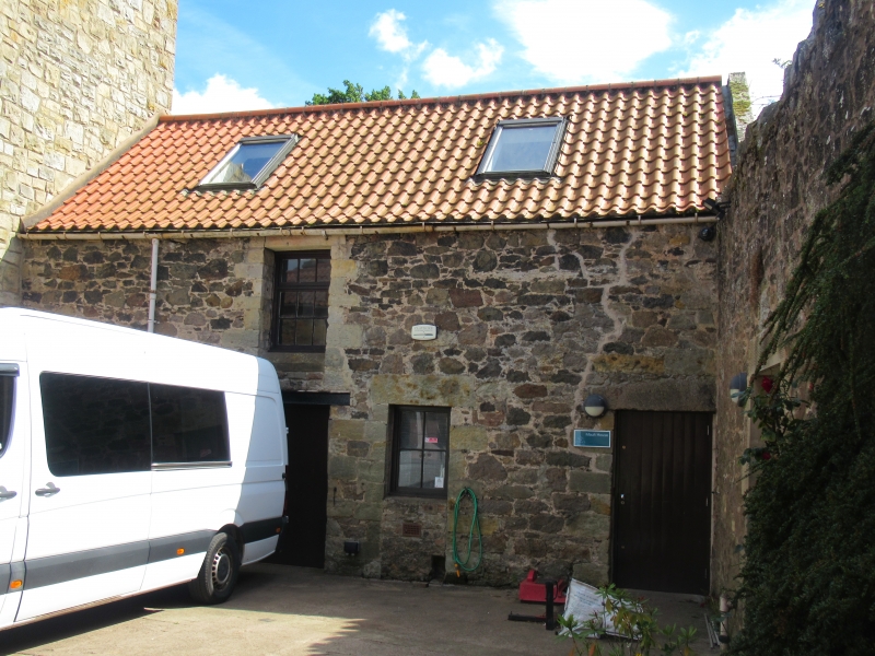
Late 18th, early 19th centuries, 2-storey building at rear of granary; rubble with pantiled roof.
Both being restored for craft and youth purposes.
External links are from the relevant listing authority and, where applicable, Wikidata. Wikidata IDs may be related buildings as well as this specific building. If you want to add or update a link, you will need to do so by editing the Wikidata entry.


Other nearby listed buildings
