Approximate Location Map
Large Map »
Latitude: 56.2253 / 56°13'30"N
Longitude: -2.6834 / 2°41'0"W
OS Eastings: 357725
OS Northings: 703844
OS Grid: NO577038
Mapcode National: GBR 2W.CP37
Mapcode Global: WH7SM.RSDH
Plus Code: 9C8V68G8+4M
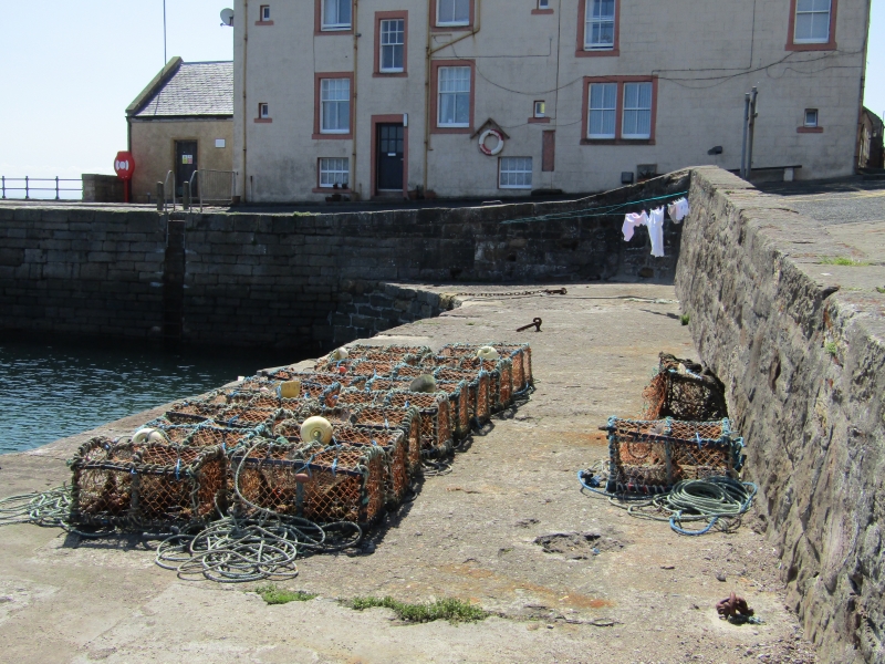
Entry Name: Cellardyke Harbour
Listing Name: The Harbour (Skinfast Haven) Cellardyke
Listing Date: 9 May 1972
Category: B
Source: Historic Scotland
Source ID: 380737
Historic Scotland Designation Reference: LB36034
Building Class: Cultural
ID on this website: 200380737
Location: Kilrenny
County: Fife
Town: Kilrenny
Electoral Ward: East Neuk and Landward
Tagged with: Harbour
Various periods, mainly 1829, 1854 and later. Tidal, partly
vertically coursed, mainly block ashlar; partly repaired in
concrete; approx 350' x 120' at head, 220' at SW end; slipway
and bulwarks.
External links are from the relevant listing authority and, where applicable, Wikidata. Wikidata IDs may be related buildings as well as this specific building. If you want to add or update a link, you will need to do so by editing the Wikidata entry.


Other nearby listed buildings
