Latitude: 56.2259 / 56°13'33"N
Longitude: -2.6832 / 2°40'59"W
OS Eastings: 357739
OS Northings: 703919
OS Grid: NO577039
Mapcode National: GBR 2W.CP56
Mapcode Global: WH7SM.RRHZ
Plus Code: 9C8V68G8+9P
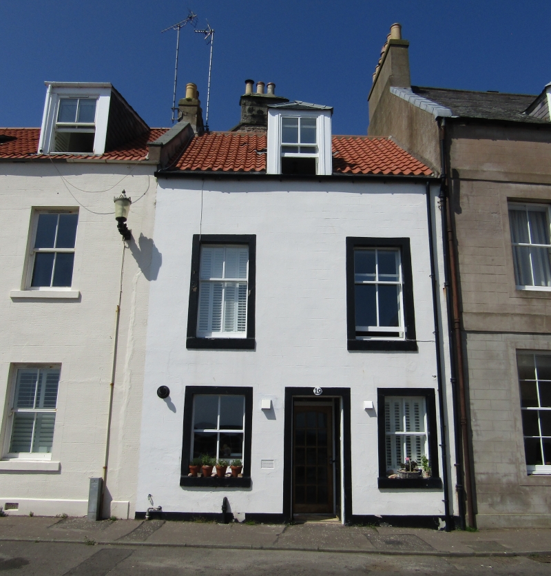
Entry Name: 19 Shore Street, Cellardyke
Listing Name: 19 Shore Street Cellardyke
Listing Date: 9 May 1972
Category: C
Source: Historic Scotland
Source ID: 380748
Historic Scotland Designation Reference: LB36045
Building Class: Cultural
ID on this website: 200380748
Location: Kilrenny
County: Fife
Town: Kilrenny
Electoral Ward: East Neuk and Landward
Traditional County: Fife
Tagged with: Architectural structure
18th century heightened late 19th. 2-storey and attic
2-window painted stucco with margins, pantiled, piended
dormer.
Re-categorised as C(S) from B for Group (2006). The listing relates specifically to the group interest of the subject. It applies, as always, to interior as well as exterior, as appropriate to building type.
External links are from the relevant listing authority and, where applicable, Wikidata. Wikidata IDs may be related buildings as well as this specific building. If you want to add or update a link, you will need to do so by editing the Wikidata entry.


Other nearby listed buildings