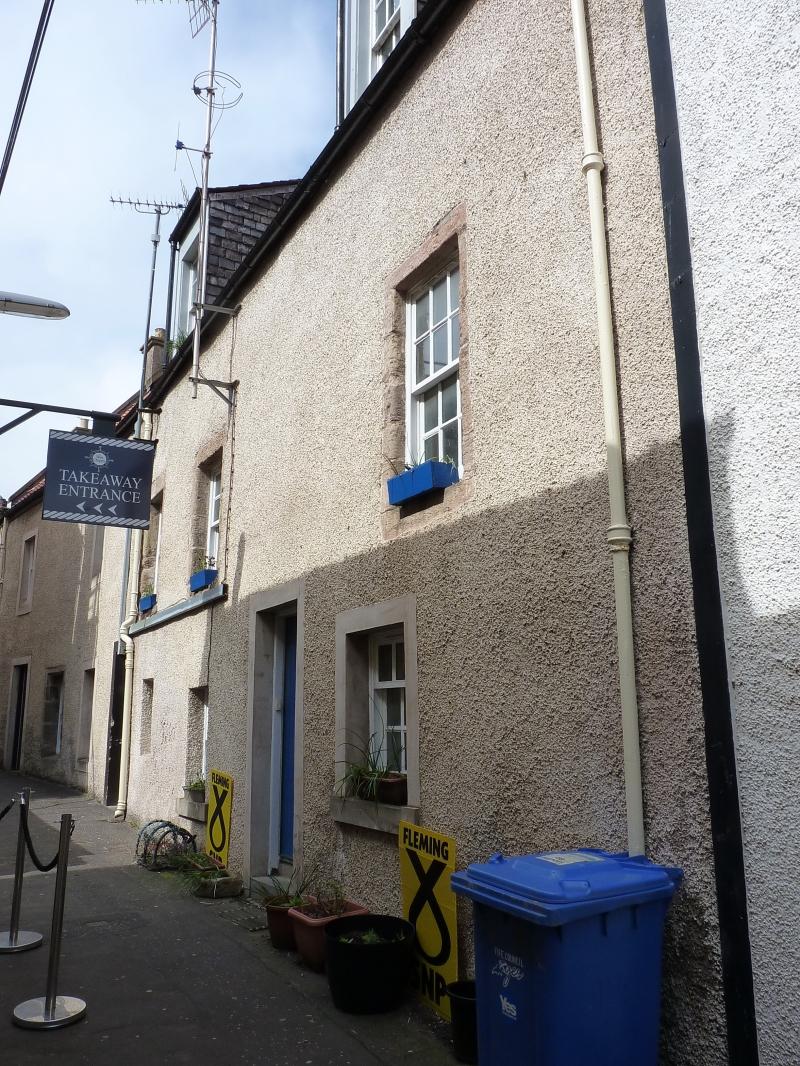
Latitude: 56.2232 / 56°13'23"N
Longitude: -2.7013 / 2°42'4"W
OS Eastings: 356610
OS Northings: 703628
OS Grid: NO566036
Mapcode National: GBR 2V.CYWS
Mapcode Global: WH7SM.GVW2
Plus Code: 9C8V67FX+7F
Entry Name: 9-11 Tolbooth Wynd, Anstruther Easter
Listing Name: Tolbooth Wynd (East Side) High Street Anstruther Easter
Listing Date: 9 May 1972
Category: B
Source: Historic Scotland
Source ID: 380799
Historic Scotland Designation Reference: LB36089
Building Class: Cultural
ID on this website: 200380799
Location: Kilrenny
County: Fife
Town: Kilrenny
Electoral Ward: East Neuk and Landward
Traditional County: Fife
17/18th centuries. Row of 4 2-storey houses harled and pantiled with crowsteps 2 swept dormer heads.


Other nearby listed buildings