Latitude: 56.2232 / 56°13'23"N
Longitude: -2.7026 / 2°42'9"W
OS Eastings: 356531
OS Northings: 703625
OS Grid: NO565036
Mapcode National: GBR 2V.CYKG
Mapcode Global: WH7SM.GV83
Plus Code: 9C8V67FW+7X
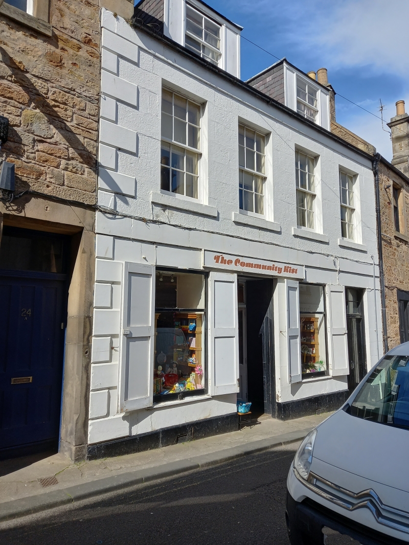
Entry Name: 32 High Street, Anstruther Easter
Listing Name: 32 High Street Anstruther Easter
Listing Date: 9 May 1972
Category: B
Source: Historic Scotland
Source ID: 380815
Historic Scotland Designation Reference: LB36103
Building Class: Cultural
Also known as: Anstruther Easter, 32 High Street
ID on this website: 200380815
Location: Kilrenny
County: Fife
Town: Kilrenny
Electoral Ward: East Neuk and Landward
Traditional County: Fife
Tagged with: Architectural structure
Circa 1835. 2-storey and attic 4-window stugged ashlar with raised quoins at W angle; ground floor shop, lying panes 1st floor, slated,
2 original piended dormers with blend side lights.
External links are from the relevant listing authority and, where applicable, Wikidata. Wikidata IDs may be related buildings as well as this specific building. If you want to add or update a link, you will need to do so by editing the Wikidata entry.


Other nearby listed buildings