Approximate Location Map
Large Map »
Latitude: 56.6734 / 56°40'24"N
Longitude: -3.0019 / 3°0'6"W
OS Eastings: 338703
OS Northings: 753965
OS Grid: NO387539
Mapcode National: GBR VJ.MNN0
Mapcode Global: WH7QB.VJQF
Plus Code: 9C8RMXFX+96
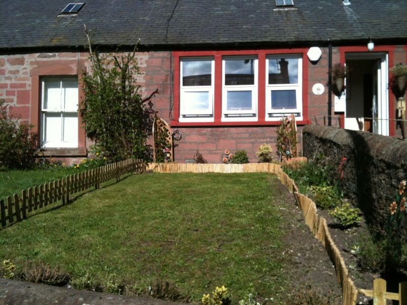
Entry Name: 23 Marywell Brae, Kirriemuir
Listing Name: 21-23 Marywell Brae
Listing Date: 11 June 1971
Category: C
Source: Historic Scotland
Source ID: 381749
Historic Scotland Designation Reference: LB36862
Building Class: Cultural
ID on this website: 200381749
Location: Kirriemuir
County: Angus
Town: Kirriemuir
Electoral Ward: Kirriemuir and Dean
Traditional County: Angus
Tagged with: Architectural structure
Early 19th century. Single-storey red rubble and slate,
original glazing.
Re-categorised as C(S) from B for Group (2006). The listing relates specifically to the group interest of the subject. It applies, as always, to interior as well as exterior, as appropriate to building type.
B group with items 1-32.
External links are from the relevant listing authority and, where applicable, Wikidata. Wikidata IDs may be related buildings as well as this specific building. If you want to add or update a link, you will need to do so by editing the Wikidata entry.


Other nearby listed buildings
