Approximate Location Map
Large Map »
Latitude: 55.7514 / 55°45'5"N
Longitude: -4.9354 / 4°56'7"W
OS Eastings: 215871
OS Northings: 654796
OS Grid: NS158547
Mapcode National: GBR GF6H.S2F
Mapcode Global: WH2N6.5P1R
Plus Code: 9C7QQ327+HR
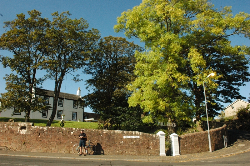
Entry Name: Millburn, West Bay Road, Millport, Great Cumbrae Island
Listing Name: Millburn House
Listing Date: 14 April 1971
Category: B
Source: Historic Scotland
Source ID: 382989
Historic Scotland Designation Reference: LB37830
Building Class: Cultural
Also known as: Great Cumbrae Island, Millport, West Bay Road, Millburn
ID on this website: 200382989
Location: Millport
County: North Ayrshire
Town: Millport
Electoral Ward: North Coast and Cumbraes
Traditional County: Buteshire
Tagged with: House
Built circa 1805 by Captain Miller who succeeded Captain
Crawford in command of the Royal George, Revenue Cutter.
Harled; 2 storeys; 3 sash windows in painted stone frames;
moulded eaves; single storey addition at side.
External links are from the relevant listing authority and, where applicable, Wikidata. Wikidata IDs may be related buildings as well as this specific building. If you want to add or update a link, you will need to do so by editing the Wikidata entry.


Other nearby listed buildings
