Latitude: 57.5037 / 57°30'13"N
Longitude: -1.7758 / 1°46'32"W
OS Eastings: 413533
OS Northings: 845965
OS Grid: NK135459
Mapcode National: GBR P8ZW.M2V
Mapcode Global: WHBQ8.PNKG
Plus Code: 9C9WG63F+FM
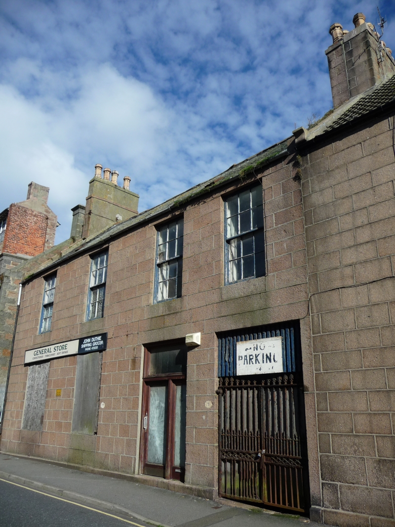
Entry Name: 7, 9 Jamaica Street, Peterhead
Listing Name: 7, 9 Jamaica Street
Listing Date: 16 April 1971
Category: C
Source: Historic Scotland
Source ID: 385566
Historic Scotland Designation Reference: LB39770
Building Class: Cultural
ID on this website: 200385566
Location: Peterhead
County: Aberdeenshire
Town: Peterhead
Electoral Ward: Peterhead North and Rattray
Traditional County: Aberdeenshire
Tagged with: House
Circa 1800. 2-storey 4-window ashlar granite.
Jamaica Street was largely built up in Ainslie's maps. None
of the houses shown 1771 appears now to exist.
External links are from the relevant listing authority and, where applicable, Wikidata. Wikidata IDs may be related buildings as well as this specific building. If you want to add or update a link, you will need to do so by editing the Wikidata entry.


Other nearby listed buildings