Approximate Location Map
Large Map »
Latitude: 56.2153 / 56°12'54"N
Longitude: -2.7252 / 2°43'30"W
OS Eastings: 355118
OS Northings: 702758
OS Grid: NO551027
Mapcode National: GBR 2T.DKNX
Mapcode Global: WH7ST.31JM
Plus Code: 9C8V678F+4W
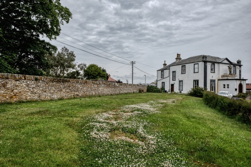
Entry Name: Gatepiers And Enclosing Wall, Roman Catholic Church, Milton Place, Pittenweem
Listing Name: Roman Catholic Church Enclosing Wall and Entrance Gatepiers
Listing Date: 18 August 1972
Category: C
Source: Historic Scotland
Source ID: 385751
Historic Scotland Designation Reference: LB39876
Building Class: Cultural
ID on this website: 200385751
Location: Pittenweem
County: Fife
Town: Pittenweem
Electoral Ward: East Neuk and Landward
Traditional County: Fife
Tagged with: Architectural structure
Early 19th century. Coursed rubble, 4 plain ashlar piers, gates removed.
Re-categorised as C(S) from B for Group (2006). The listing relates specifically to the group interest of the subject. It applies, as always, to interior as well as exterior, as appropriate to building type.
External links are from the relevant listing authority and, where applicable, Wikidata. Wikidata IDs may be related buildings as well as this specific building. If you want to add or update a link, you will need to do so by editing the Wikidata entry.


Other nearby listed buildings
