Approximate Location Map
Large Map »
Latitude: 56.2121 / 56°12'43"N
Longitude: -2.7329 / 2°43'58"W
OS Eastings: 354640
OS Northings: 702410
OS Grid: NO546024
Mapcode National: GBR 2T.DPYQ
Mapcode Global: WH7SS.Z4S1
Plus Code: 9C8V6768+RV
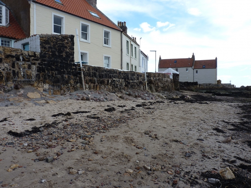
Entry Name: Retaining Wall, West Shore, Pittenweem
Listing Name: Retaining Wall to Houses 1-19 West Shore
Listing Date: 18 August 1972
Category: B
Source: Historic Scotland
Source ID: 385935
Historic Scotland Designation Reference: LB40049
Building Class: Cultural
Also known as: Pittenweem, West Shore, Retaining Wall
ID on this website: 200385935
Location: Pittenweem
County: Fife
Town: Pittenweem
Electoral Ward: East Neuk and Landward
Traditional County: Fife
Tagged with: Architectural structure
Mainly 18th century, irregular tarred rubble sea wall with slipway.
External links are from the relevant listing authority and, where applicable, Wikidata. Wikidata IDs may be related buildings as well as this specific building. If you want to add or update a link, you will need to do so by editing the Wikidata entry.


Other nearby listed buildings
