History in Structure

28-32 North Street.

A Category B Listed Building in St Andrews, Fife

More Photos »
Approximate Location Map
Large Map »

Coordinates

Latitude: 56.3406 / 56°20'26"N

Longitude: -2.7912 / 2°47'28"W

OS Eastings: 351189

OS Northings: 716751

OS Grid: NO511167

Mapcode National: GBR 2R.4GVW

Mapcode Global: WH7S0.3W4L

Plus Code: 9C8V86R5+6G

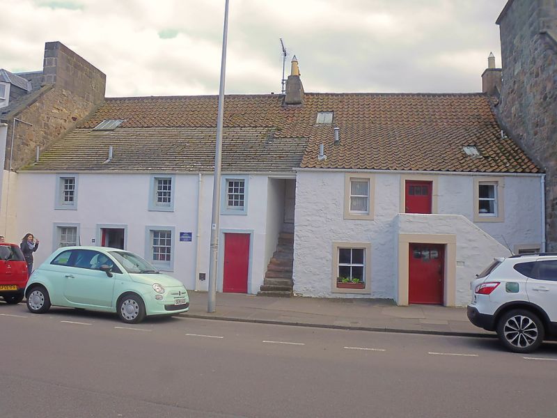
Entry Name: 28-32 North Street.

Listing Date: 28 April 1959

Category: B

Source: Historic Scotland

Source ID: 386765

Historic Scotland Designation Reference: LB40780

Building Class: Cultural

ID on this website: 200386765

Location: St Andrews

County: Fife

Town: St Andrews

Electoral Ward: St Andrews

Traditional County: Fife

Find accommodation in
St Andrews

Description

1618 (dated heraldic fireplace lintel) and later. 2-storey
painted stucco and rubble, pantiled, forestair; later
outshot, stuccoed and slated.

External Links

External links are from the relevant listing authority and, where applicable, Wikidata. Wikidata IDs may be related buildings as well as this specific building. If you want to add or update a link, you will need to do so by editing the Wikidata entry.

Recommended Books

Other nearby listed buildings

BritishListedBuildings.co.uk is an independent online resource and is not associated with any government department. All government data published here is used under licence. Please do not contact BritishListedBuildings.co.uk for any queries related to any individual listed building, planning permission related to listed buildings or the listing process itself.

British Listed Buildings is a Good Stuff website.