Latitude: 56.1177 / 56°7'3"N
Longitude: -3.9405 / 3°56'25"W
OS Eastings: 279444
OS Northings: 693360
OS Grid: NS794933
Mapcode National: GBR 1C.LGPS
Mapcode Global: WH4P6.FHSF
Plus Code: 9C8R4395+3Q
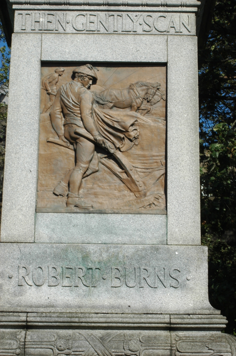
Entry Name: Monument To Robert Burns, Dumbarton Road, Stirling
Listing Name: Burns Robert, Monument To, Dumbarton Road
Listing Date: 4 November 1965
Category: B
Source: Historic Scotland
Source ID: 387217
Historic Scotland Designation Reference: LB41121
Building Class: Cultural
Also known as: Stirling, Dumbarton Road, Monument To Robert Burns
ID on this website: 200387217
Location: Stirling
County: Stirling
Town: Stirling
Electoral Ward: Stirling West
Traditional County: Stirlingshire
Tagged with: Monument
Albert H Hodge, 1914, Pedestrian bronze on granite base with
bronze reliefs.
External links are from the relevant listing authority and, where applicable, Wikidata. Wikidata IDs may be related buildings as well as this specific building. If you want to add or update a link, you will need to do so by editing the Wikidata entry.


Other nearby listed buildings