Approximate Location Map
Large Map »
Latitude: 56.1239 / 56°7'26"N
Longitude: -3.9301 / 3°55'48"W
OS Eastings: 280111
OS Northings: 694033
OS Grid: NS801940
Mapcode National: GBR 1C.L520
Mapcode Global: WH4P6.LBQN
Plus Code: 9C8R43F9+HX
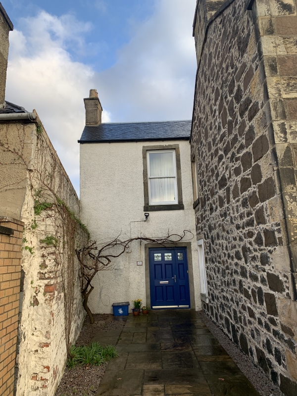
Entry Name: 29-30 Forth Crescent, Stirling
Listing Name: Forth Crescent 29 30
Listing Date: 3 February 1978
Category: C
Source: Historic Scotland
Source ID: 387460
Historic Scotland Designation Reference: LB41285
Building Class: Cultural
ID on this website: 200387460
Location: Stirling
County: Stirling
Town: Stirling
Electoral Ward: Stirling North
Traditional County: Stirlingshire
Tagged with: Architectural structure
Early 19th century. 2-storey 3-window black whinstone,
freestone dressings and margins, central arched, fanlight
doorpiece.
Chimneys unfortunately doubled in height in brick and harl,
slated roof. 2-storey addition at W gable rubble-built with
slated roof.
roof. Ashlar gatepiers.
Now divided into 2 flats.
External links are from the relevant listing authority and, where applicable, Wikidata. Wikidata IDs may be related buildings as well as this specific building. If you want to add or update a link, you will need to do so by editing the Wikidata entry.


Other nearby listed buildings
