Latitude: 55.8648 / 55°51'53"N
Longitude: -4.294 / 4°17'38"W
OS Eastings: 256537
OS Northings: 665895
OS Grid: NS565658
Mapcode National: GBR 0BK.MC
Mapcode Global: WH3P2.0VJB
Plus Code: 9C7QVP74+WC
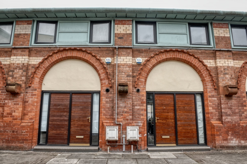
Entry Name: 15 Carfrae Street
Listing Name: 3, 5, 7, 9, 11, 15, 17, 19, 21, 23 and 25 Carfrae Street and 164 and 172 Yorkhill Street (Former Pearson Hall), excluding 4-storey brick and timber addition to east, Glasgow
Listing Date: 15 December 1970
Last Amended: 6 June 2016
Category: B
Source: Historic Scotland
Source ID: 406038
Historic Scotland Designation Reference: LB33024
Building Class: Cultural
ID on this website: 200406038
Location: Glasgow
County: Glasgow
Electoral Ward: Anderston/City/Yorkhill
Traditional County: Lanarkshire


Other nearby listed buildings