Approximate Location Map
Large Map »
Latitude: 56.9163 / 56°54'58"N
Longitude: -4.2374 / 4°14'14"W
OS Eastings: 263887
OS Northings: 782785
OS Grid: NN638827
Mapcode National: GBR HBXF.MRV
Mapcode Global: WH3J1.WFC6
Plus Code: 9C8QWQ87+G2
Entry Name: Wade Bridge, Dalwhinnie
Listing Name: Dalwhinnie, Wade Bridge over River Truim
Listing Date: 5 October 1971
Category: B
Source: Historic Scotland
Source ID: 406132
Historic Scotland Designation Reference: LB7665
Building Class: Cultural
Also known as: Dalwhinnie, Wade Bridge
ID on this website: 200406132
Location: Kingussie and Insh
County: Highland
Electoral Ward: Badenoch and Strathspey
Parish: Kingussie And Insh
Traditional County: Inverness-shire
Tagged with: Bridge Road bridge
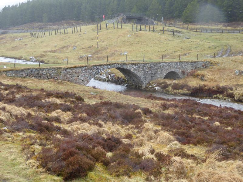
General Wade, circa 1730. Single span pinned rubble bridge
with small flood arch at W bank; dressed rubble arch
rings, the principal arch springing from natural rock
abutments. No parapet survives; turf roadway surface.
Approximate spans; main arch - 30' flood arch - 9'.
Formerly a scheduled monument. Scheduled on 29/12/1958 and descheduled on 04/05/2016.
External links are from the relevant listing authority and, where applicable, Wikidata. Wikidata IDs may be related buildings as well as this specific building. If you want to add or update a link, you will need to do so by editing the Wikidata entry.


