Approximate Location Map
Large Map »
Latitude: 51.8092 / 51°48'33"N
Longitude: -2.7221 / 2°43'19"W
OS Eastings: 350315
OS Northings: 212531
OS Grid: SO503125
Mapcode National: GBR FK.XCD4
Mapcode Global: VH86T.RSTF
Plus Code: 9C3VR75H+M5
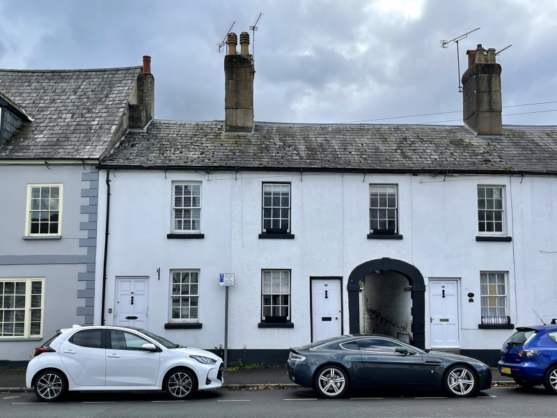
Entry Name: NOS.24, 26, 28 & 30 Drybridge Street, Gwent
Listing Date: 15 August 1974
Last Amended: 10 August 2005
Grade: II
Source: Cadw
Source ID: 2259
Building Class: Domestic
Also known as: NOS.24,26,28 & 30 DRYBRIDGE STREET,,,,,GWENT
ID on this website: 300002259
Location: On the main street in Overmonnow, going north from St. Thomas' Square.
County: Monmouthshire
Town: Monmouth
Community: Monmouth (Trefynwy)
Community: Monmouth
Locality: Overmonnow
Built-Up Area: Monmouth
Traditional County: Monmouthshire
Tagged with: Building
Apparently wholly of early C19 build and four houses from the first.
Interior not seen at resurvey.
Included for its special architectural interest as an early C19 terrace and as a part of the important group of historic buildings in the suburb of Overmonnow.
External links are from the relevant listing authority and, where applicable, Wikidata. Wikidata IDs may be related buildings as well as this specific building. If you want to add or update a link, you will need to do so by editing the Wikidata entry.


Other nearby listed buildings
