Latitude: 52.7431 / 52°44'35"N
Longitude: -3.8867 / 3°53'12"W
OS Eastings: 272731
OS Northings: 317830
OS Grid: SH727178
Mapcode National: GBR 90.0CP5
Mapcode Global: WH56P.89FY
Plus Code: 9C4RP4V7+68
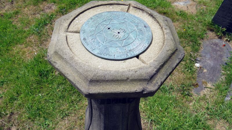
Entry Name: Sundial in St Marys Churchyard
Listing Date: 19 June 1990
Last Amended: 19 June 1990
Grade: II
Source: Cadw
Source ID: 5065
Building Class: Gardens, Parks and Urban Spaces
ID on this website: 300005065
Location: Located immediately to the S of the S door of the church.
County: Gwynedd
Community: Dolgellau
Community: Dolgellau
Built-Up Area: Dolgellau
Traditional County: Merionethshire
Tagged with: Sundial
l835.
Octagonal baluster shaped stone sundial. Moulded top with acanthus like decorative band. Gnomon and plate missing. Stem swells out to base with scalloped leaft ornament clasping fishscales. Base inscribed AJ 1835 LR.
Group value with Church.
External links are from the relevant listing authority and, where applicable, Wikidata. Wikidata IDs may be related buildings as well as this specific building. If you want to add or update a link, you will need to do so by editing the Wikidata entry.


Other nearby listed buildings