Approximate Location Map
Large Map »
Latitude: 51.9441 / 51°56'38"N
Longitude: -3.3838 / 3°23'1"W
OS Eastings: 304976
OS Northings: 228194
OS Grid: SO049281
Mapcode National: GBR YP.MP9D
Mapcode Global: VH6BZ.9DGH
Plus Code: 9C3RWJV8+JF
Entry Name: Boundary Wall along The Watton, Brecon Barracks
Listing Date: 16 December 1976
Last Amended: 4 November 2005
Grade: II
Source: Cadw
Source ID: 7098
Building Class: Domestic
ID on this website: 300007098
Location: Defining the S side of the Barracks, about 750m SE of town centre.
County: Powys
Town: Brecon
Community: Brecon (Aberhonddu)
Community: Brecon
Built-Up Area: Brecon
Traditional County: Brecknockshire
Tagged with: Wall
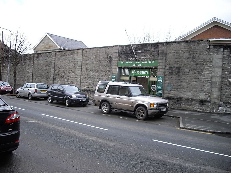
C19.
Boundary wall of stone laid in regular courses; stone pilasters and plinth. Stone gate piers at entry to NW of the Keep, and (further SE) gatepiers to vehicle and pedestrian gateways with boarded doors.
C19 wall of historic barracks, little altered. Group Value with The Keep and listed buildings within the Barracks site.
External links are from the relevant listing authority and, where applicable, Wikidata. Wikidata IDs may be related buildings as well as this specific building. If you want to add or update a link, you will need to do so by editing the Wikidata entry.


Other nearby listed buildings
