Approximate Location Map
Large Map »
Latitude: 51.8567 / 51°51'24"N
Longitude: -3.1406 / 3°8'26"W
OS Eastings: 321540
OS Northings: 218182
OS Grid: SO215181
Mapcode National: GBR F0.T9LR
Mapcode Global: VH6CH.JL1J
Plus Code: 9C3RVV45+MP
Entry Name: NO.19 Bridge Street, Powys, 7178
Listing Date: 25 September 1986
Last Amended: 25 September 1986
Grade: II
Source: Cadw
Source ID: 7178
Building Class: Domestic
ID on this website: 300007178
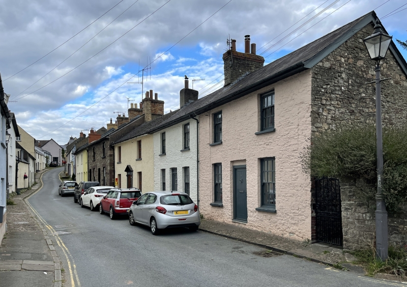
Location: End of terrace pair at the bottom of the street near the Bethabara Baptist Chapel; cobbled pavement to the front.
County: Powys
Community: Crickhowell (Crughywel)
Community: Crickhowell
Built-Up Area: Crickhowell
Traditional County: Brecknockshire
Tagged with: Building
Simple classical early C19 (on 1840 Tithe Map)
2-storey, 2-window white-washed rubble fronts. Slate roofs with wide boarded eaves, rubble and roughcast chimney stacks. Small-pane sash windows and modern doors.
No 17 adjoining to left is no longer of special interest.
Included for group value.
External links are from the relevant listing authority and, where applicable, Wikidata. Wikidata IDs may be related buildings as well as this specific building. If you want to add or update a link, you will need to do so by editing the Wikidata entry.


Other nearby listed buildings
