Approximate Location Map
Large Map »
Latitude: 51.7021 / 51°42'7"N
Longitude: -3.5114 / 3°30'41"W
OS Eastings: 295650
OS Northings: 201459
OS Grid: SN956014
Mapcode National: GBR HH.3TR1
Mapcode Global: VH5GM.3G0Z
Plus Code: 9C3RPF2Q+VC
Entry Name: Pont Lluest-Wen
Listing Date: 10 January 1991
Last Amended: 10 January 1991
Grade: II
Source: Cadw
Source ID: 10873
Building Class: Transport
ID on this website: 300010873
Location: Nearly 1km SE of Lluest-Wen Reservoir; reached approximately 3km along a gated track from B4277 at Bryn Du. Spanning the Afon Rhondda Fach on the Western boundary of Aberdare Community area.
County: Rhondda Cynon Taff
Community: Aberdare (Aberdâr)
Community: Aberdare West
Locality: Lluest-Wen
Traditional County: Glamorgan
Tagged with: Bridge
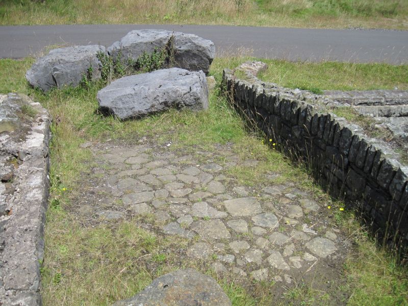
Early to mid C19 single arched, single track bridge on the site of an older bridge (shown on 1770's map). Said to be the oldest bridge in the Rhondda.
Snecked rubble construction with rugged coping of verticaly laid stones. Segmental arch, parapets curve outwards at each corner. Stone setts to ramped roadway
External links are from the relevant listing authority and, where applicable, Wikidata. Wikidata IDs may be related buildings as well as this specific building. If you want to add or update a link, you will need to do so by editing the Wikidata entry.


