Latitude: 52.759 / 52°45'32"N
Longitude: -3.4559 / 3°27'21"W
OS Eastings: 301846
OS Northings: 318924
OS Grid: SJ018189
Mapcode National: GBR 6L.Z709
Mapcode Global: WH67T.WXH8
Plus Code: 9C4RQG5V+HJ
Entry Name: No. 5 Glyndu, Llanwddyn
Listing Date: 26 February 2003
Grade: II
Source: Cadw
Source ID: 80929
Building Class: Domestic
ID on this website: 300080929
Location: To the south side of the village road about 300 m from the south-east end of the Vyrnwy Dam.
County: Powys
Community: Llanwddyn
Community: Llanwddyn
Locality: Llanwddyn village
Traditional County: Montgomeryshire
Tagged with: Building
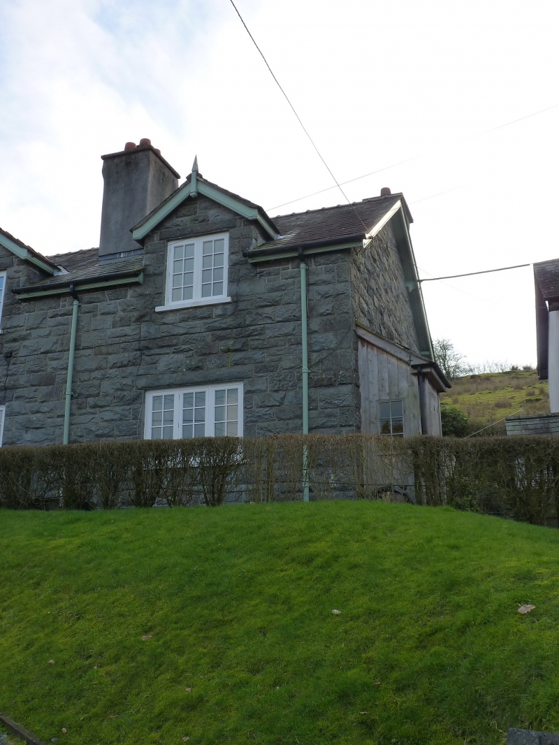
One of a pair of cottages forming a group with nos. 1-4 but of later (post-1900) date, though designed in consistent style; additional workers housing for the village constructed to serve the Vyrnwy Reservoir.
The right-hand cottage of the pair, with porch with closed sides.
Listed for group value with nos 1-4 Glyndu, Llanwddyn.
External links are from the relevant listing authority and, where applicable, Wikidata. Wikidata IDs may be related buildings as well as this specific building. If you want to add or update a link, you will need to do so by editing the Wikidata entry.


Other nearby listed buildings