Latitude: 51.9472 / 51°56'49"N
Longitude: -3.392 / 3°23'31"W
OS Eastings: 304421
OS Northings: 228551
OS Grid: SO044285
Mapcode National: GBR YP.MF89
Mapcode Global: VH6BZ.5B43
Plus Code: 9C3RWJW5+V5
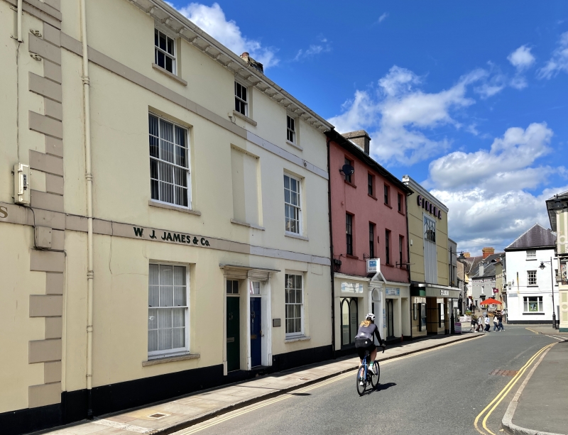
Entry Name: 9, Wheat Street
Listing Date: 16 December 1976
Last Amended: 4 November 2005
Grade: II
Source: Cadw
Source ID: 85735
ID on this website: 300085735
Location: Opposite entrance to St Mary Street.
County: Powys
Town: Brecon
Community: Brecon (Aberhonddu)
Community: Brecon
Built-Up Area: Brecon
Traditional County: Brecknockshire
Tagged with: Building
Probably early C19.
Pair of earlier C19 houses retaining good period character. Group Value.
External links are from the relevant listing authority and, where applicable, Wikidata. Wikidata IDs may be related buildings as well as this specific building. If you want to add or update a link, you will need to do so by editing the Wikidata entry.


Other nearby listed buildings