
Invalid Contributor
All Photos: 0
Photos this month: 0
Photos this week: 0
Featured Photos: 0
Buildings photographed: 0
First photos of building: 0
First photos of building this month: 0
First photos of building this week: 0
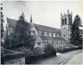
Church of St Ambrose
St Ambrose' Church, Westbourne, Bournemouth
16 June 2012
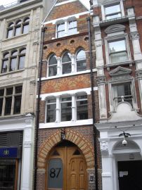
87, Chancery Lane WC2
16 June 2012
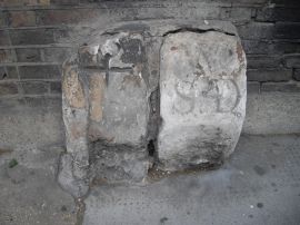
Two Parish Boundary Stones to Rear of Former Stables to Number 5 New Square, Lincoln's Inn
16 June 2012
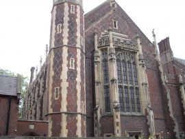
New Hall Library
16 June 2012
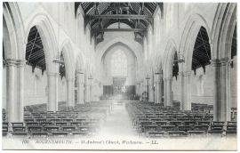
Church of St Ambrose
St Ambrose' Church, Westbourne, Bournemouth
16 June 2012
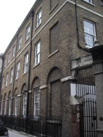
Numbers 8-11 and Attached Railings and Gates
Eastern elevation to Chancery Lane
16 June 2012
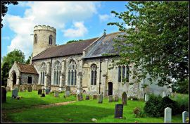
Church of St Mary
Church of St. Mary, East Walton, Norfolk
16 June 2012
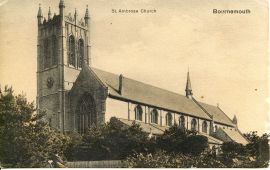
Church of St Ambrose
St Ambrose' Church, Westbourne, Bournemouth
16 June 2012
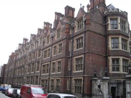
8-15, Old Square and attached railings
16 June 2012
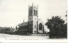
Church of St Ambrose
St Ambrose' Church, Westbourne, Bournemouth
16 June 2012
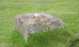
Percy Rigg Cross
Base of Percy Rigg cross
16 June 2012
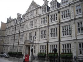
10, Furnival Street and Attached Railings, and 25, Southampton Buildings and Attached Railings
16 June 2012
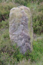
Boundary Stone, Approximately 1430 Metres to South of Highcliff Farmhouse at Ngr NZ605 119
Boundary Stone
16 June 2012
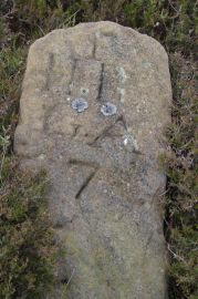
Boundary Stone Approximately 1300 Metres to South of Highcliff Farmhouse at Ngr NZ603 121
Boundary Stone
16 June 2012
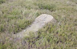
Boundary Stone Approximately 1300 Metres to South of Highcliff Farmhouse at Ngr NZ603 121
Boundary Stone
16 June 2012

Boundary Stone Approximately 400 Metres to South of Highcliff Farmhouse at Ngr NZ606 119
Boundary Stone
16 June 2012

Boundary Stone Approximately 400 Metres to South of Highcliff Farmhouse at Ngr NZ606 119
Boundary Stone
16 June 2012
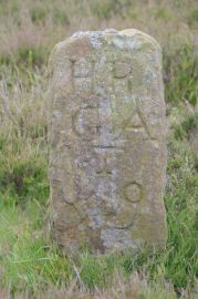
Boundary Stone, Approximately 1430 Metres to South of Highcliff Farmhouse at Ngr NZ605 119
Boundary Stone
16 June 2012
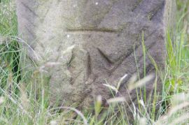
Boundary Stone Approximately 1225 Metres to South of Highcliff Farmhouse at Ngr NZ605 121
Detail of bench mark
16 June 2012
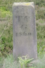
Boundary Stone Approximately 1225 Metres to South of Highcliff Farmhouse at Ngr NZ605 121
Boundary Stone
16 June 2012
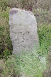
Boundary Stone Approximately 1260 Metres to South of Highcliff Farmhouse at Ngr NZ605 121
Boundary Stone
16 June 2012
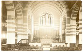
Church of St Alban
St Alban's Church, Linwood Road, Charminster, Bournemouth
16 June 2012
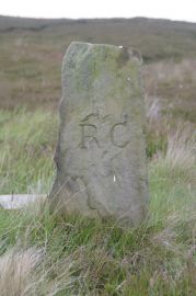
Boundary Stone, Approximately 1310 Metres to South of Highcliff Farmhouse at Ngr NZ605 121
Boundary Stone
16 June 2012
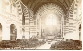
Church of St Alban
St Alban's Church, Linwood Road, Charminster, Bournemouth
16 June 2012
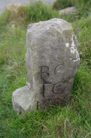
Boundary Stone, Approximately 1350 Metres to South of Highcliff Farmhouse at Ngr NZ604 120
Back of stone
16 June 2012
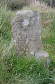
Boundary Stone, Approximately 1350 Metres to South of Highcliff Farmhouse at Ngr NZ604 120
Boundary Stone
16 June 2012
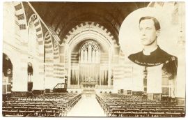
Church of St Alban
St Alban's Church, Linwood Road, Charminster, Bournemouth
16 June 2012
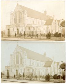
Church of St Alban
St Alban's Church, Linwood Road, Charminster, Bournemouth
16 June 2012
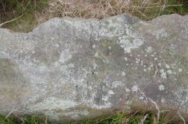
Pair of Boundary Stones, Approximately 2025 Metres to South of Home Lowcross at Ngr NZ599 123
Is that writing?
16 June 2012
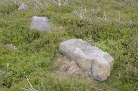
Pair of Boundary Stones, Approximately 2025 Metres to South of Home Lowcross at Ngr NZ599 123
Pair of Boundary Stones
16 June 2012
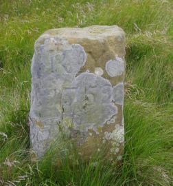
Boundary Stone, Approximately 1300 Metres to South West of Highcliff Farmhouse at Ngr NZ600 123
Boundary Stone
16 June 2012
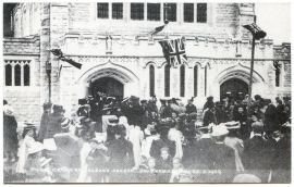
Church of St Alban
St Alban's Church, Linwood Road, Charminster, Bournemouth
16 June 2012
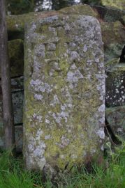
Pair of Boundary Stones, Approximately 2020 Metres to South of Home Farmhouse, Hutton Lowcross at Ng
Boundary Stone
16 June 2012
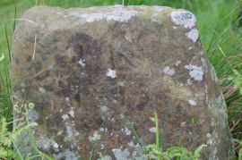
Pair of Boundary Stones, Approximately 2020 Metres to South of Home Farmhouse, Hutton Lowcross at Ng
Boundary Stone
16 June 2012
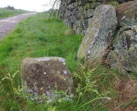
Pair of Boundary Stones, Approximately 2020 Metres to South of Home Farmhouse, Hutton Lowcross at Ng
Pair of Boundary Stones
16 June 2012

Boundary Stone, Approximately 1990 Metres to South of Home Farmhouse, Hutton Lowcross at Ngr NZ592 1
Boundary Stone
16 June 2012
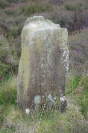
Boundary Stone, Approximately 1990 Metres to South of Home Farmhouse, Hutton Lowcross at Ngr NZ592 1
Boundary Stone
16 June 2012
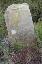
Boundary Stone, Approximately 1950 Metres to South of Home Farmhouse Hutton Lowcross at Ngr NZ595 12
Boundary Stone
16 June 2012
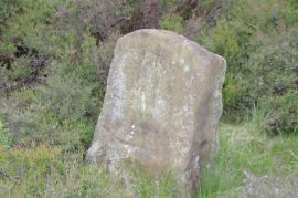
Boundary Stone Approximately 1940 Metres to South of Home Farmhouse Hutton Lowcross at Ngr NZ595 124
Boundary Stone
16 June 2012
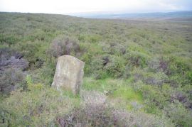
Boundary Stone Approximately 1940 Metres to South of Home Farmhouse Hutton Lowcross at Ngr NZ595 124
Boundary Stone
16 June 2012