
Invalid Contributor
All Photos: 0
Photos this month: 0
Photos this week: 0
Featured Photos: 0
Buildings photographed: 0
First photos of building: 0
First photos of building this month: 0
First photos of building this week: 0
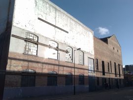
Mara's Scene Painting Shop
3-7
16 September 2011
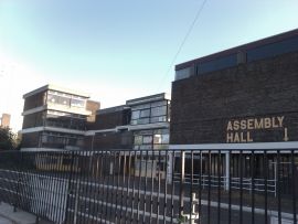
Lilian Baylis School
16 September 2011
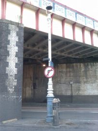
Lamp Post on E Side of Railway Viaduct
16 September 2011
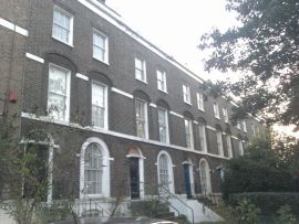
Numbers 30-42 and Attached Handrails
16 September 2011

46, Queens Road
16 September 2011
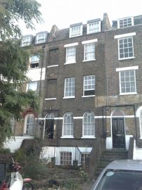
52, Queens Road
16 September 2011
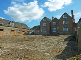
Collymore Farmhouse Including Former Cattle Shed Range to South East
Collymore Farmhouse north front
16 September 2011
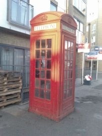
K2 Telephone Kiosk Outside Montpelier Arms Public House (Public House Not Included)
16 September 2011
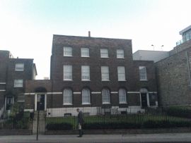
Numbers 142 and 144 and Attached Railings
16 September 2011
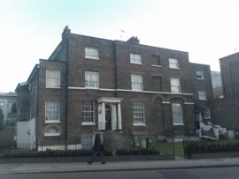
146 and 148, Queens Road
16 September 2011

152 and 154, Queens Road
16 September 2011
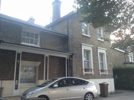
156, Queens Road and St Marys Court 158 Queens Road
156
16 September 2011
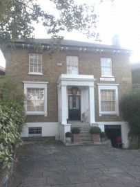
2 St Mary's Road
16 September 2011
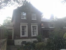
4 and 6 St Mary's Road
No. 6
16 September 2011
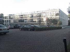
Southwark Adult Education Institute
16 September 2011
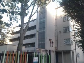
Sassoon House
16 September 2011

Numbers 223-233 and Attached Handrails to Numbers 225, 231 and 233
16 September 2011
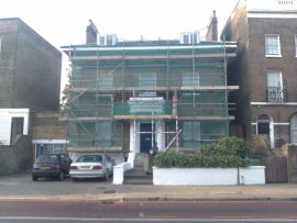
Number 235 and Attached Handrails
16 September 2011

Numbers 237, 239 and 241 and Attached Handrails
16 September 2011
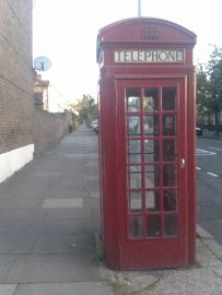
K2 Telephone Kiosk at Junction with Queens Road
16 September 2011
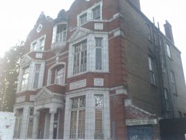
Hatcham Liberal Club and Attached Forecourt Wall and Railings
16 September 2011
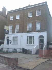
371-373, Queens Road
16 September 2011
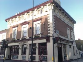
The Five Bells Public House
16 September 2011
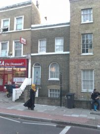
96, New Cross Road
16 September 2011

The Dartmouth Inn
The Dartmouth Inn
16 September 2011
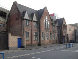
Former St Patrick's School
Old School
16 September 2011
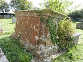
Mobse Monument, Approximately 11 Metres South of Southeast Nave Window of Church of St Giles
Mobse chest tomb, St Giles churchyard, Great Coxwell
16 September 2011
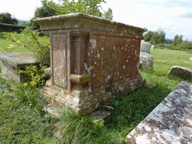
Mobse Monument, Approximately 11 Metres South of Southeast Nave Window of Church of St Giles
Mobse chest tomb, St Giles churchyard, Great Coxwell
16 September 2011
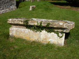
Chest Tomb Approximately 4 Metres North East of North East Corner of Church of St Giles
17C chest tomb 4 metres East of St Giles church, Great Coxwell
16 September 2011
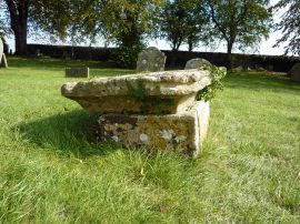
Chest Tomb Approximately 4 Metres North East of North East Corner of Church of St Giles
17C chest tomb 4 metres East of St Giles church, Great Coxwell
16 September 2011
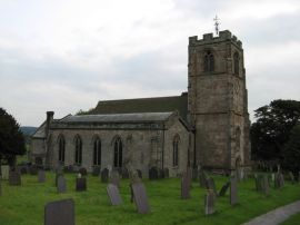
Church of St Peter
Church of St Peter at Ellastone
16 September 2011
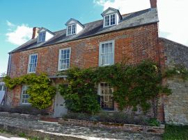
Chapel House
Chapel House, Great Coxwell
16 September 2011
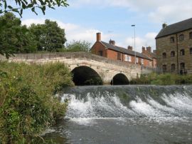
Churnet Bridge and Causeway to West
Churnet Bridge at Rocester
16 September 2011
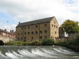
Podmore's Mill
Podmore's Mill at Rocester
16 September 2011
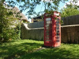
K6 Telephone Kiosk to South of Chapel House
K6 telephone kiosk near Chapel House, Great Coxwell
16 September 2011
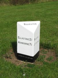
Milepost at Ngr SK 1074 3992
Mile Post near Rocester
16 September 2011

Lodge Approximately 20 Yards North of Triumphal Arch at Quixhill
Lodge to north of Triumphal Arch at Quixhill
16 September 2011

Lodge Approximately 20 Yards South of Triumphal Arch at Quixhill
Lodge to south of Triumphal Arch at Quixhill
16 September 2011
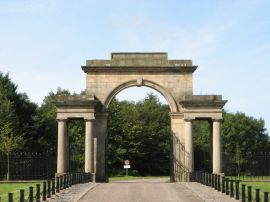
Triumphal Arch, Gates and Flanking Railings at Quixhill
Triumphal Arch at Quixhill
16 September 2011