
Invalid Contributor
All Photos: 0
Photos this month: 0
Photos this week: 0
Featured Photos: 0
Buildings photographed: 0
First photos of building: 0
First photos of building this month: 0
First photos of building this week: 0
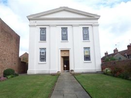
Methodist Church
Methodist Chapel, Bourne, Lincs
13 July 2011
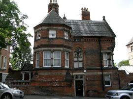
Castle Bank and Attached Boundary Wall
Castle Bank, 5 Lenton Road, Nottingham
13 July 2011
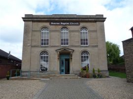
Baptist Chapel
Baptist Chapel, Bourne, Lincs
13 July 2011
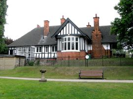
Park Estate Office
Park Estate Office, Lenton Road, Nottingham
13 July 2011
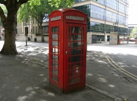
K6 Telephone Kiosk Opposite Newcastle House
K6 type D telephone kiosk, Pevril Drive, Nottingham
13 July 2011
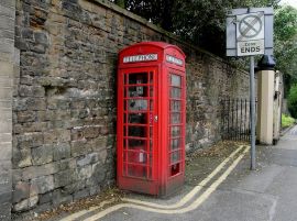
K6 Telephone Kiosk Adjoining Castle Wall
K6 type C telephone kiosk, Lenton Road, Nottingham
13 July 2011
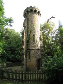
Folly in Grounds of Beane River View (Beane River View Not Included)
13 July 2011

The Vicarage
The Old Vicarage, Barton Upon Humber
12 July 2011

16, Lensfield Road
16 is on the left
12 July 2011
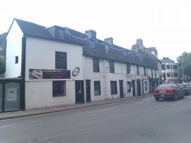
10-14, Lensfield Road
12 July 2011
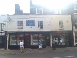
112-116, Regent Street
12 July 2011
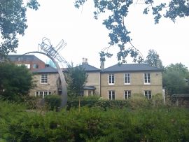
Owen Webb House
12 July 2011
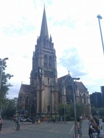
The Church of Our Lady of the Assumption and the English Martyrs, Cambridge
12 July 2011
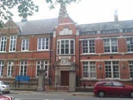
Camberwell College of Arts and Gate Piers at Entrance
12 July 2011
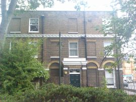
86, Camberwell Church Street
12 July 2011
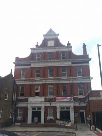
Camberwell Public Baths
12 July 2011
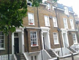
2-8, Jephson Street
12 July 2011
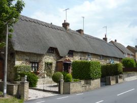
3-6, Station Road
Station Road Thatched Cottages
12 July 2011
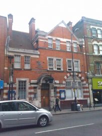
Camberwell Police Station and Attached Lamp Bracket
12 July 2011
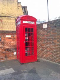
K2 Telephone Kiosk at South End of Wren Road
12 July 2011
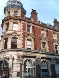
2, Camberwell Church Street
12 July 2011
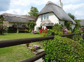
24, Badbury
Badbury Cottage
12 July 2011
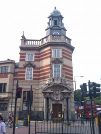
Former London County Bank
12 July 2011
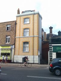
323, Camberwell New Road
12 July 2011
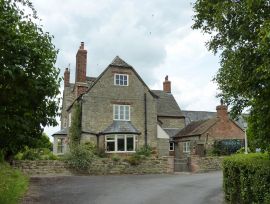
The Manor
The Manor House, Badbury
12 July 2011
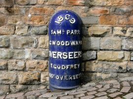
Boundary Mark 40 Metres North East of Castle Gatehouse
Boundary marker, Castle Place, Nottingham
12 July 2011
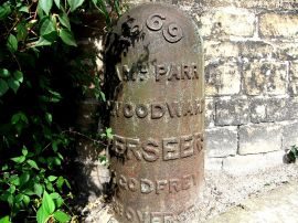
Boundary Mark at South East Corner of Bailey Wall
Boundary marker, Castle Road, Nottingham
12 July 2011
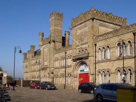
Castle Armoury
Castle Armoury, Bury
12 July 2011
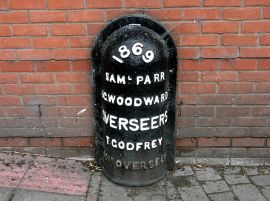
Boundary Mark on Canal Towpath to South of Castle Lock
Boundary marker near Wilford Street, Nottingham
12 July 2011
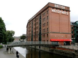
British Waterways Warehouse to Rear of Numbers 17 to 23
Canal warehouse, Wilford Street, Nottingham
12 July 2011
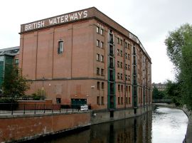
British Waterways Warehouse to Rear of Numbers 17 to 23
Canal warehouse, Wilford Street, Nottingham
12 July 2011

Dalnavert Farmhouse, Kincraig
Dalnavert - 2004
12 July 2011
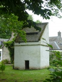
Pitreavie Castle
Pitreavie Castle doocot
12 July 2011
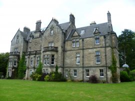
Pitreavie Castle
Pitreavie Castle from the grounds
12 July 2011
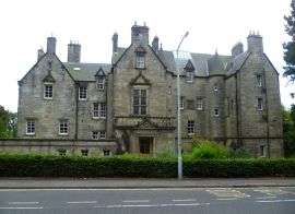
Pitreavie Castle
Pitreavie Castle
12 July 2011
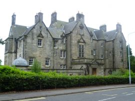
Pitreavie Castle
Pitreavie Castle
12 July 2011
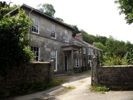
The Coombe
Coombe House
12 July 2011
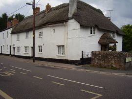
4, 5 and 6 Lower Woolbrook Cottages
Churchill's corner
12 July 2011
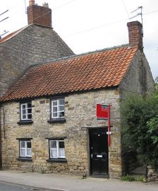
10, Dale End
17th C house, Dale End
12 July 2011
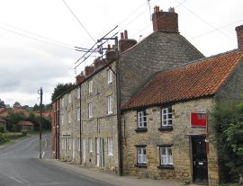
12-20, Dale End
12 to 20 Dale End
12 July 2011