Photos by Scott Engering
I am a geologist with a specialist interest in building stone and historic buildings.
I am a geologist with a specialist interest in building stone and historic buildings.
All Photos: 6286
Photos this month: 9
Photos this week: 0
Featured Photos: 44
Buildings photographed: 2244
First photos of building: 1948
First photos of building this month: 1
First photos of building this week: 0
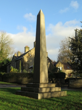
Memorial obelisk at junction of Norton Lane
A general view.
16 October 2021
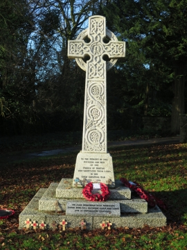
Norton War Memorial
A general view.
16 October 2021
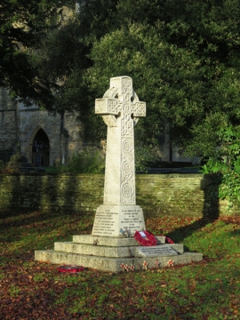
Norton War Memorial
A general view.
16 October 2021
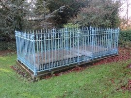
Tomb of Sir Francis Chantrey 5 Metres South West of Church of St James
A general view.
16 October 2021
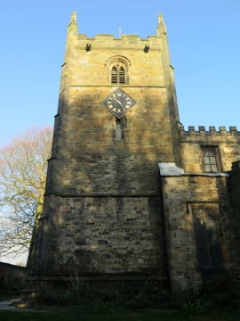
Church of St James the Great
The south elevation of the tower.
16 October 2021
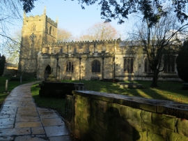
Church of St James the Great
A general view of the south elevation.
16 October 2021
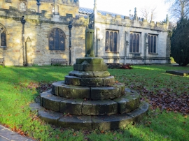
Preaching Cross 15 Metres South of Church of St James
A general view.
16 October 2021
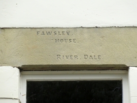
River Dale House and River Dale Cottages
A detail.
16 October 2021
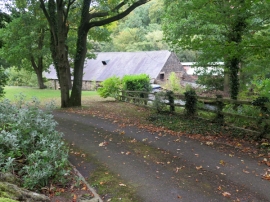
Rolling Mill
A distant view from Low Matlock Lane to the north.
16 October 2021
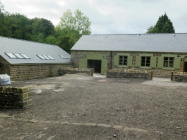
Olive Wheel Mill
A general view from the east.
16 October 2021
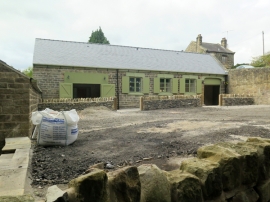
Olive Wheel Mill
A general view from the east.
16 October 2021
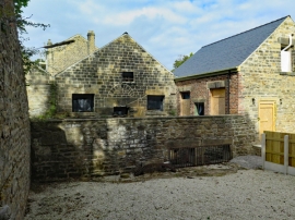
Olive Wheel Mill
A view from the south.
16 October 2021
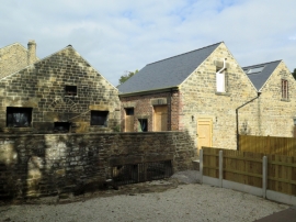
Olive Wheel Mill
A view from the south.
16 October 2021
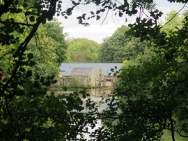
Olive Wheel Mill
A distant view from the west.
16 October 2021
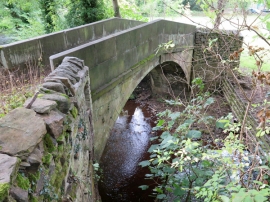
Packhorse Bridge over River Loxley at Croft House
A general view of the east side.
16 October 2021
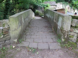
Packhorse Bridge over River Loxley at Croft House
A general view from the north.
16 October 2021
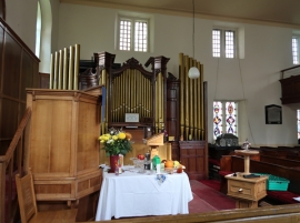
Underbank Chapel
A general view.
16 October 2021
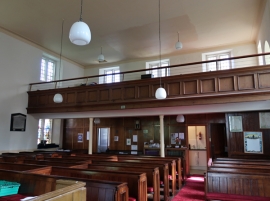
Underbank Chapel
A general view.
16 October 2021
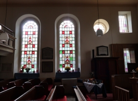
Underbank Chapel
A general view.
16 October 2021
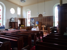
Underbank Chapel
A general view.
16 October 2021
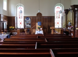
Underbank Chapel
The interior.
16 October 2021
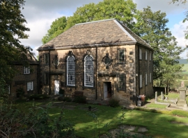
Underbank Chapel
A general view.
16 October 2021
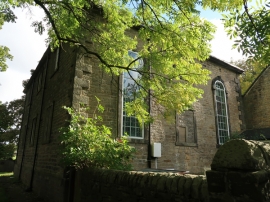
Underbank Chapel
The west elevation.
16 October 2021
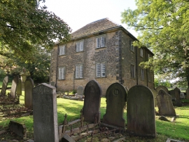
Underbank Chapel
An oblique general view from the north-east.
16 October 2021
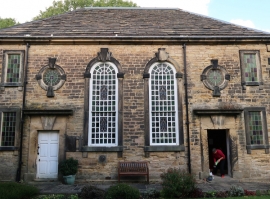
Underbank Chapel
The south elevation.
16 October 2021
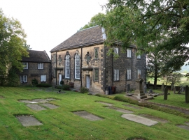
Underbank Chapel
An oblique general view from the south-east.
16 October 2021
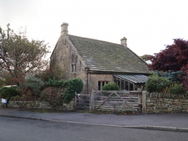
White House Farmhouse
An oblique general view of the north and east elevations.
16 October 2021
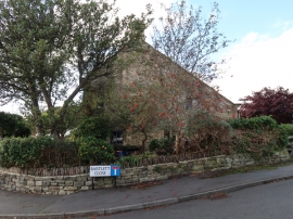
White House Farmhouse
The east elevation.
16 October 2021
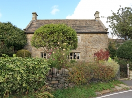
White House Farmhouse
The front (south) elevation.
16 October 2021
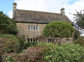
White House Farmhouse
A general view of the south elevation.
16 October 2021
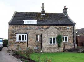
Well House
The front (north) elevation.
16 October 2021
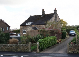
Well House
A general view.
16 October 2021
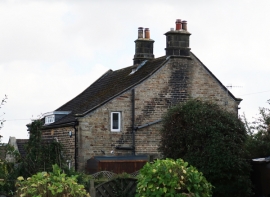
Well House
A general view.
16 October 2021
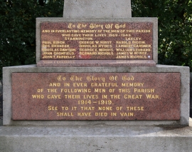
Stannington War Memorial
A detail.
16 October 2021
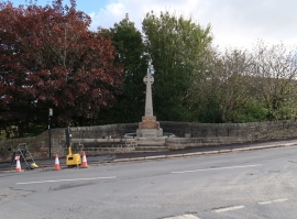
Stannington War Memorial
A general view.
16 October 2021
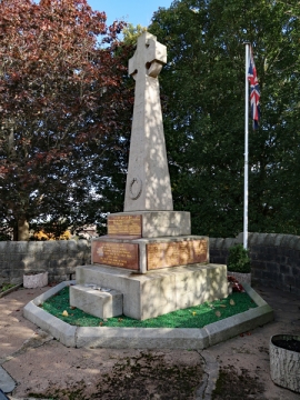
Stannington War Memorial
A general view.
16 October 2021
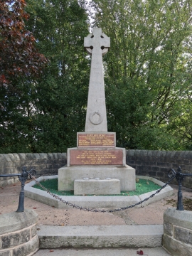
Stannington War Memorial
A general view.
16 October 2021
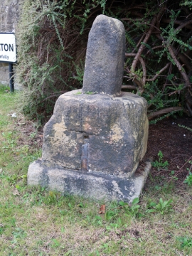
Stannington Cross at Junction with Stannington Road on West Side of Junction
A general view.
16 October 2021
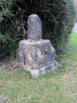
Stannington Cross at Junction with Stannington Road on West Side of Junction
A general view.
16 October 2021
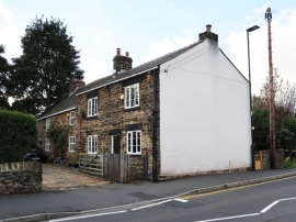
Pond Farmhouse
A general view from the north-east.
16 October 2021