All Photos: 2479
Photos this month: 0
Photos this week: 0
Featured Photos: 35
Buildings photographed: 2009
First photos of building: 1690
First photos of building this month: 0
First photos of building this week: 0
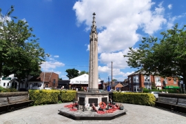
War Memorial at Junction with Woodthorpe Drive
View from south near Plains Road
21 June 2024
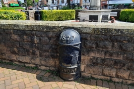
Boundary Mark on Island at Junction with Woodthorpe Drive
View from west on Woodthorpe Drive
21 June 2024
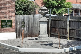
Boer War Memorial
View from south on Cavendish Drive
21 June 2024
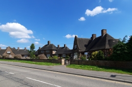
Mary Hardstaff Homes
View from south on Arnold Lane
21 June 2024
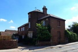
Manor Farmhouse
View from north west on Arnold Lane
21 June 2024
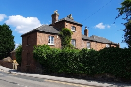
Manor Farmhouse
View from south on Arnold Lane
21 June 2024
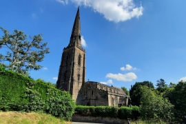
Church of All Hallows
View from north west on Arnold Lane
21 June 2024
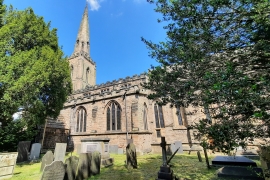
Church of All Hallows
View from south east within the churchyard
21 June 2024
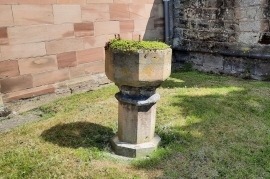
Font 2 Metres South of West End at Church of All Hallows
View of the former font which is now a 14th century planter
21 June 2024
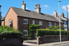
86 and 88, Main Road
View from east on Main Road
21 June 2024
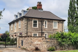
Brampton Grange
View from east on Brampton Road
20 June 2024
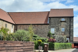
Granary and dovecote with attached barn approximately 30 metres to east of Holme Farmhouse
View from west on Brampton Road
20 June 2024
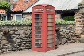
K6 Telephone Kiosk
View from south east on Brampton Road
20 June 2024
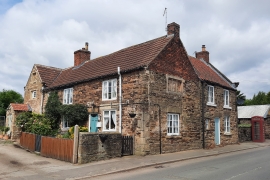
Farm View Cottages
View from south east on Brampton Road
20 June 2024
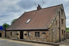
Green Arbour Farm Cottage
View from west on public footpath
20 June 2024
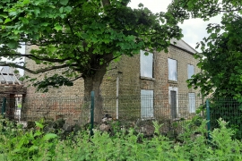
Sawn Moor Farmhouse
Partial view from footpath at south
20 June 2024
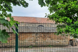
Barn and attached cartshed/granary immediately to north west of Sawn Moor Farmhouse
Partial view of the barn roof from footpath at south
20 June 2024
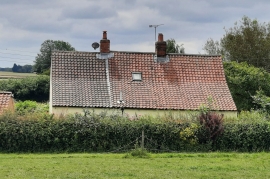
Cottage Farm Farmhouse
Partial view from north on public footpath
18 June 2024
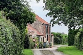
Cottage Farm Farmhouse
Partial view from entrance drive on Water Lane
18 June 2024
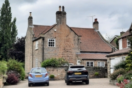
Bridge Farm House
Rear of the building from north on The Cross
18 June 2024
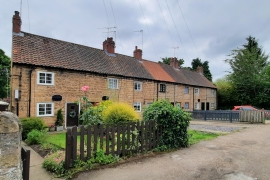
1-7, Low Street
View from north on Low Street
18 June 2024
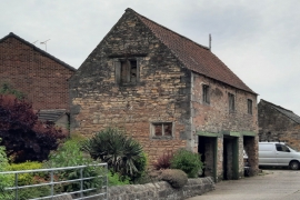
Outbuilding Approximately 10 Metres to East of Old Hall Farmhouse
View from north on High Street
14 June 2024
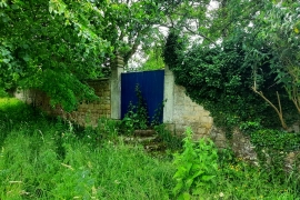
Orchard Enclosure Wall with Attached Steps and Gatepiers to South West of Slade Hooton Hall
View from south west on Hooton Lane
14 June 2024
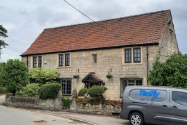
Slade Hooton Hall Farmhouse
View from west on Abbey Lane
14 June 2024
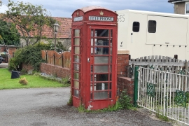
K6 Telephone Kiosk
View from west on Abbey Lane
14 June 2024
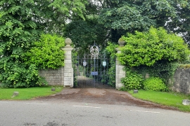
Wall Enclosing Front Garden to Slade Hooton Hall Including Attached Gatepiers and Gateway
The gate and gate piers from north on High Hooton Road
14 June 2024
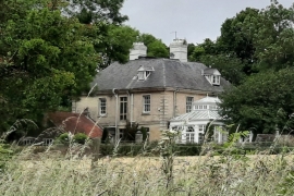
Slade Hooton Hall
View from south east on public footpath
14 June 2024
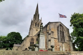
Church of All Saints
The church and War Memorial from east on High Street
14 June 2024
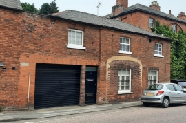
Norwell House
View from north on Westgate
13 June 2024
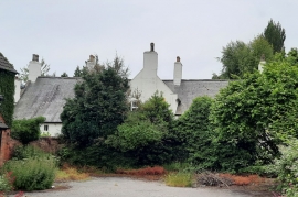
Westhorpe Lodge
Partial view from The Dumbles (disused public house) car park
13 June 2024
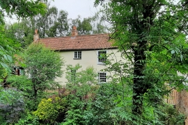
Brookside House
Partial view from south on Spring Lane
12 June 2024
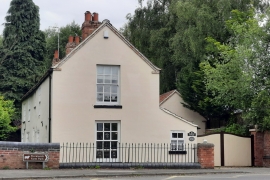
Brookside House
View from east on Catfoot Lane
12 June 2024
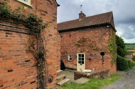
Mill House
View from north on Mill Lane
12 June 2024
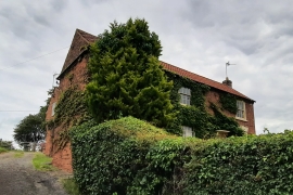
Mill House
Partial view from south on Mill Lane
12 June 2024
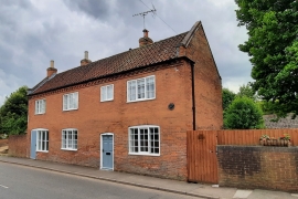
18, Main Street
View from west on Main Street
12 June 2024
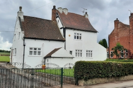
52, Main Street
View from north on Main Street
12 June 2024
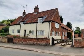
16, Church Street
View from south on Church Street
12 June 2024
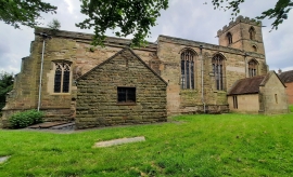
Church of Holy Trinity
View from north within churchyard
12 June 2024
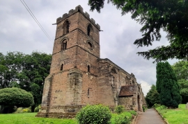
Church of Holy Trinity
View from west within the churchyard
12 June 2024
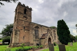
Church of Holy Trinity
View from south-west within the churchyard
12 June 2024