Approximate Location Map
Large Map »
Latitude: 51.5183 / 51°31'5"N
Longitude: -1.7287 / 1°43'43"W
OS Eastings: 418920
OS Northings: 179960
OS Grid: SU189799
Mapcode National: GBR 4VX.MS1
Mapcode Global: VHB3T.Z3GF
Plus Code: 9C3WG79C+7G
Entry Name: Base of Former Windmill
Listing Date: 20 September 1979
Grade: II
Source: Historic England
Source ID: 1023311
English Heritage Legacy ID: 318288
ID on this website: 101023311
Location: Chiseldon, Swindon, Wiltshire, SN4
County: Swindon
Civil Parish: Chiseldon
Built-Up Area: Chiseldon
Traditional County: Wiltshire
Lieutenancy Area (Ceremonial County): Wiltshire
Tagged with: Building
1.
5410 CHISELDON THE BUTTS
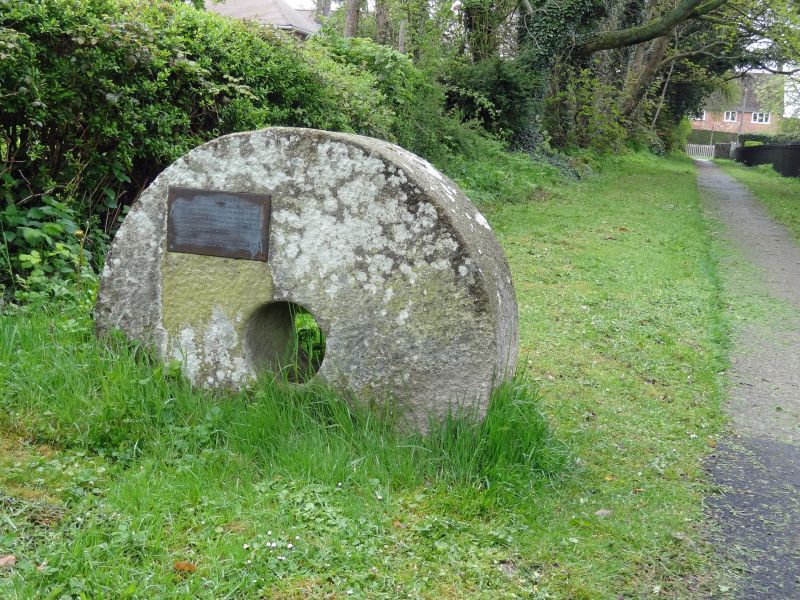
Base of former windmill
SU 1879 29/149
II
2.
Former windmill. Probably early to mid C19. Lacks sails and apparently lacks
machinery. Red brick with belled out bottom. Three openings above each other
to north, various others. Crowning cogs mostly survive.
Listing NGR: SU1892079960
External links are from the relevant listing authority and, where applicable, Wikidata. Wikidata IDs may be related buildings as well as this specific building. If you want to add or update a link, you will need to do so by editing the Wikidata entry.


Other nearby listed buildings
