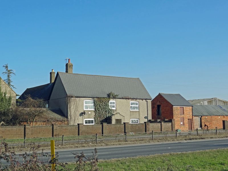
Latitude: 51.5697 / 51°34'10"N
Longitude: -1.7265 / 1°43'35"W
OS Eastings: 419051
OS Northings: 185680
OS Grid: SU190856
Mapcode National: GBR 4VB.GBQ
Mapcode Global: VHC0X.1T31
Plus Code: 9C3WH79F+V9
Entry Name: Outhouse to North of Nythe Farmhouse
Listing Date: 20 September 1979
Grade: II
Source: Historic England
Source ID: 1023430
English Heritage Legacy ID: 318591
ID on this website: 101023430
Location: Covingham, Swindon, Wiltshire, SN4
County: Swindon
Civil Parish: Wanborough
Built-Up Area: Swindon
Traditional County: Wiltshire
Lieutenancy Area (Ceremonial County): Wiltshire
Church of England Parish: Lyddington and Wanborough
Church of England Diocese: Bristol
Tagged with: Outhouse
1.
5410
SU 18 NE
8/505
WANBOROUGH
WANBOROUGH ROAD
Outhouse to north of Nythe Farmhouse
II
2.
Early C19 outhouse in coursed rubble which has ashlar gable with coped verge
to road. Tiled roof. Two storeys. One window in gable with band stepped
over. Three windows to long side with slatted shutters. One chimney to east.
Gable end has panel and window.
Listing NGR: SU1905185680
External links are from the relevant listing authority and, where applicable, Wikidata. Wikidata IDs may be related buildings as well as this specific building. If you want to add or update a link, you will need to do so by editing the Wikidata entry.


Other nearby listed buildings