Latitude: 51.5209 / 51°31'15"N
Longitude: -1.8022 / 1°48'7"W
OS Eastings: 413820
OS Northings: 180234
OS Grid: SU138802
Mapcode National: GBR 4VT.M5K
Mapcode Global: VHB3S.Q13F
Plus Code: 9C3WG5CX+84
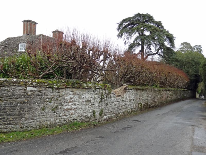
Entry Name: Wall to Churchyard and Street, East and South of Wroughton House
Listing Date: 20 September 1979
Grade: II
Source: Historic England
Source ID: 1023436
English Heritage Legacy ID: 318606
ID on this website: 101023436
Location: Elcombe, Swindon, Wiltshire, SN4
County: Swindon
Civil Parish: Wroughton
Built-Up Area: Wroughton
Traditional County: Wiltshire
Lieutenancy Area (Ceremonial County): Wiltshire
Church of England Parish: Wroughton
Church of England Diocese: Bristol
Tagged with: Wall
1. 5410 WROUGHTON CHURCH HILL Wall to churchyard and street, east and south of Wroughton House SU 1380 22/524
II GV
2. C18 and C19. About 5 foot high. Rubble. An important feature of Church Hill and the corner, up to the Church. Small doorway in East wall.
Listing NGR: SU1378380265
External links are from the relevant listing authority and, where applicable, Wikidata. Wikidata IDs may be related buildings as well as this specific building. If you want to add or update a link, you will need to do so by editing the Wikidata entry.


Other nearby listed buildings