Approximate Location Map
Large Map »
Latitude: 51.1044 / 51°6'15"N
Longitude: 0.1572 / 0°9'25"E
OS Eastings: 551120
OS Northings: 136109
OS Grid: TQ511361
Mapcode National: GBR LNP.QK2
Mapcode Global: VHHQJ.NHYR
Plus Code: 9F324534+PV
Entry Name: Barn to the North East of Hunt's Farmhouse
Listing Date: 31 December 1982
Grade: II
Source: Historic England
Source ID: 1028034
English Heritage Legacy ID: 296904
ID on this website: 101028034
Location: Wealden, East Sussex, TN7
County: East Sussex
District: Wealden
Civil Parish: Withyham
Traditional County: Sussex
Lieutenancy Area (Ceremonial County): East Sussex
Church of England Parish: Withyham St Michael and All Angels
Church of England Diocese: Chichester
Tagged with: Barn
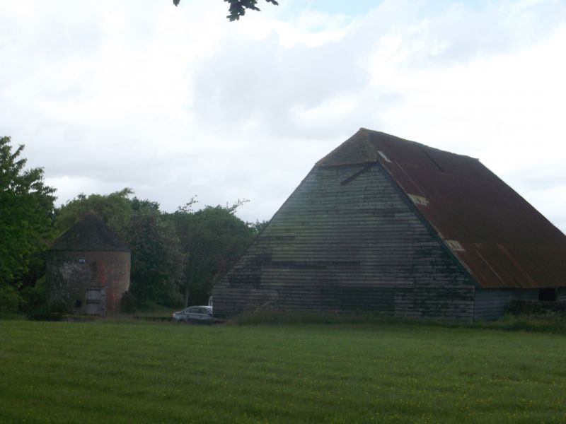
WITHYHAM Barn to the north-
1.
5208
east of Hunt's farmhouse
TQ 53 NW 6/156A
II
2.
C18. Faced with weather-boarding. Hipped tiled roof.
Listing NGR: TQ5112036109
External links are from the relevant listing authority and, where applicable, Wikidata. Wikidata IDs may be related buildings as well as this specific building. If you want to add or update a link, you will need to do so by editing the Wikidata entry.


Other nearby listed buildings
