Latitude: 52.4367 / 52°26'11"N
Longitude: 1.6979 / 1°41'52"E
OS Eastings: 651445
OS Northings: 288509
OS Grid: TM514885
Mapcode National: GBR YV3.B29
Mapcode Global: VHM6T.C0ZW
Plus Code: 9F43CMPX+M5
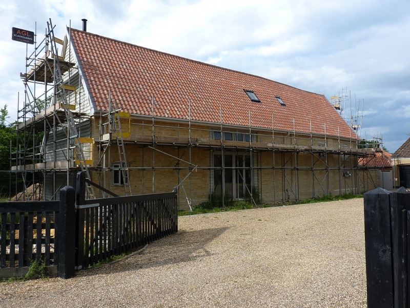
Entry Name: Barn 30 Metres North West of Church Farmhouse
Listing Date: 17 April 1986
Grade: II
Source: Historic England
Source ID: 1032073
English Heritage Legacy ID: 282046
ID on this website: 101032073
Location: Gisleham, East Suffolk, NR33
County: Suffolk
District: East Suffolk
Civil Parish: Gisleham
Traditional County: Suffolk
Lieutenancy Area (Ceremonial County): Suffolk
Church of England Parish: Gisleham Holy Trinity
Church of England Diocese: Norwich
Tagged with: Barn
GISLEHAM TM 58 NW 3/17 Barn 30m. north west of - Church Farmhouse
GV II
Single-aisled barn. Late C17 with later alterations. Originally timber framed, now considerably rebuilt: yellow brick to south and one gable end, flint rubble with red brick dressings to north. The roadside gable end is weatherboarded. Roof clad in corrugated iron except for part of the north slope which is pantiled. 4 bays; the aisle is on the north side, where there is also a later lean-to porch. The arched bracing to the arcade posts is intact; evidence for lap joints between the aisle posts and the ties to the outer wall. The roof has 2 rows of butt purlins. A comparatively rare example of a single-aisled barn.
Listing NGR: TM5144588509
External links are from the relevant listing authority and, where applicable, Wikidata. Wikidata IDs may be related buildings as well as this specific building. If you want to add or update a link, you will need to do so by editing the Wikidata entry.


Other nearby listed buildings