Approximate Location Map
Large Map »
Latitude: 52.6348 / 52°38'5"N
Longitude: -2.4521 / 2°27'7"W
OS Eastings: 369498
OS Northings: 304210
OS Grid: SJ694042
Mapcode National: GBR BX.751L
Mapcode Global: WH9DH.91KF
Plus Code: 9C4VJGMX+W5
Entry Name: Garden Boundary Wall Immediately North East of Upper House
Listing Date: 8 April 1983
Grade: II
Source: Historic England
Source ID: 1033272
English Heritage Legacy ID: 362325
ID on this website: 101033272
Location: Madeley, Telford and Wrekin, Shropshire, TF7
County: Telford and Wrekin
Civil Parish: Madeley
Built-Up Area: Telford
Traditional County: Shropshire
Lieutenancy Area (Ceremonial County): Shropshire
Church of England Parish: Madeley
Church of England Diocese: Hereford
Tagged with: Building
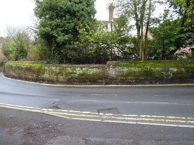
MADELEY CHURCH STREET
1.
5362 Garden boundary wall
immediately north-east of
Upper House
SJ 6904SW 11/472
SJ 6904SE 12/472
II GV
2.
Circa C18 sandstone ashlar and coursed rubble wall with chamfered coping. Included
for group value.
Listing NGR: SJ6949804210
External links are from the relevant listing authority and, where applicable, Wikidata. Wikidata IDs may be related buildings as well as this specific building. If you want to add or update a link, you will need to do so by editing the Wikidata entry.


Other nearby listed buildings
