Latitude: 51.773 / 51°46'22"N
Longitude: -1.2003 / 1°12'1"W
OS Eastings: 455275
OS Northings: 208564
OS Grid: SP552085
Mapcode National: GBR 8YT.WXH
Mapcode Global: VHCXP.4PTN
Plus Code: 9C3WQQFX+6V
Entry Name: Wick Farmhouse, Well House Approximately 30 Metres to North
Listing Date: 21 December 1956
Last Amended: 5 June 1985
Grade: II*
Source: Historic England
Source ID: 1047637
English Heritage Legacy ID: 246523
ID on this website: 101047637
Location: South Oxfordshire, OX3
County: Oxfordshire
District: South Oxfordshire
Civil Parish: Beckley and Stowood
Traditional County: Oxfordshire
Lieutenancy Area (Ceremonial County): Oxfordshire
Church of England Parish: Headington St Mary
Church of England Diocese: Oxford
Tagged with: Architectural structure Well house
BECKLEY AND STOWOOD SP50NE 5/3 Wick Farmhouse, well house 21/12/56 approx. 30m. to N (Formerly listed as well or bath house at Wick Farm)
GV II*
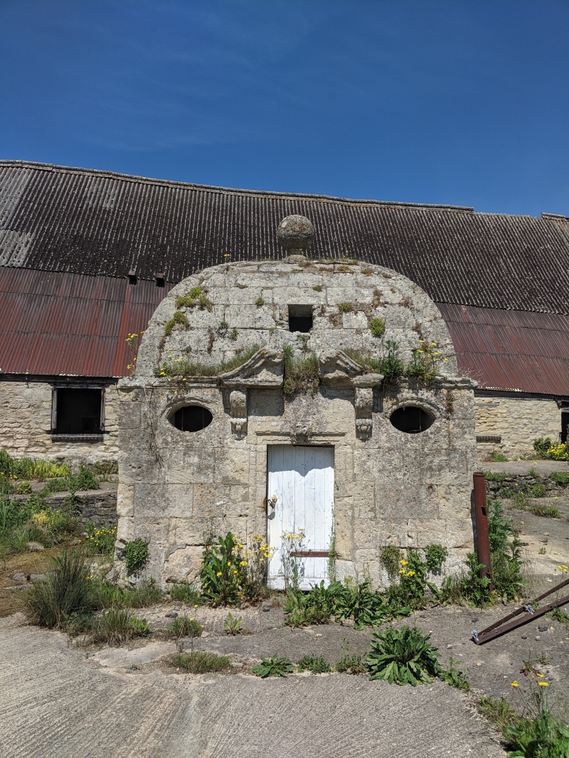
Well or bath house. Late C17/early C18. Limestone ashlar. Square plan. Baroque style. Front has central doorway, with moulded architrave and lion-mask keyblock, flanked by small oval openings with moulded surrounds and iron stanchions. Cornice breaks forward over doorway as a scrolled swan-neck pediment supported on elaborate consoles, The roof is a square domical vault carrying a large ball finial. Interior: Stone benches around walls; well now filled in.
Listing NGR: SP5527508564
External links are from the relevant listing authority and, where applicable, Wikidata. Wikidata IDs may be related buildings as well as this specific building. If you want to add or update a link, you will need to do so by editing the Wikidata entry.


Other nearby listed buildings