Latitude: 52.4304 / 52°25'49"N
Longitude: -2.4977 / 2°29'51"W
OS Eastings: 366256
OS Northings: 281500
OS Grid: SO662815
Mapcode National: GBR BV.MZSG
Mapcode Global: VH841.N5FN
Plus Code: 9C4VCGJ2+5W
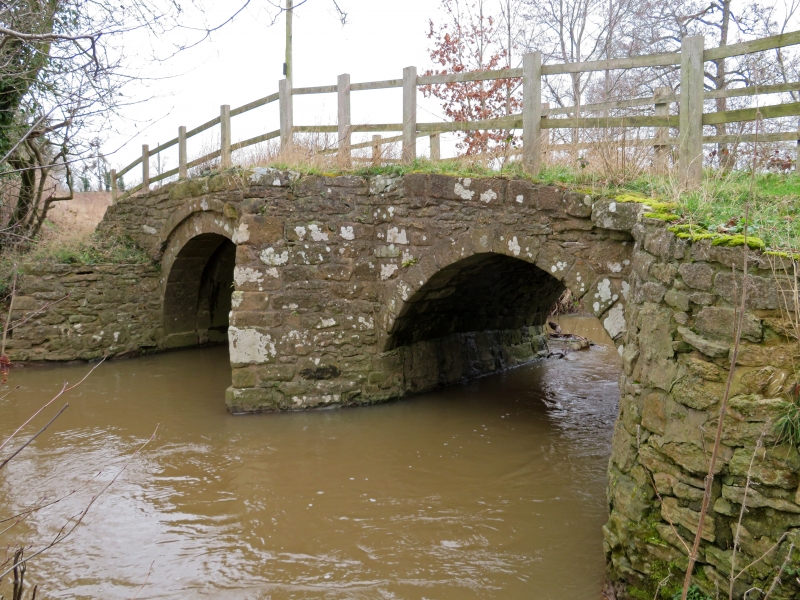
Entry Name: Bridge to North of Prescott
Listing Date: 9 March 1970
Grade: II
Source: Historic England
Source ID: 1053751
English Heritage Legacy ID: 254952
ID on this website: 101053751
Location: Prescott, Shropshire, DY14
County: Shropshire
Civil Parish: Stottesdon
Traditional County: Shropshire
Lieutenancy Area (Ceremonial County): Shropshire
Church of England Parish: Stottesdon
Church of England Diocese: Hereford
1. 1954 STOTTESDON Bridge to north of Prescott SO 68 SE 31/33 9.3.70.
II
2. C17, or possibly earlier. Stone and of two round headed spans. Humped cutwater on both sides Plain rubble parapets. AM.
Listing NGR: SO6625681500


Other nearby listed buildings