Latitude: 52.5948 / 52°35'41"N
Longitude: -2.5552 / 2°33'18"W
OS Eastings: 362485
OS Northings: 299813
OS Grid: SO624998
Mapcode National: GBR BS.9PLT
Mapcode Global: WH9DM.Q1FK
Plus Code: 9C4VHCVV+WW
Entry Name: 34, Barrow Street
Listing Date: 1 February 1974
Grade: II
Source: Historic England
Source ID: 1053849
English Heritage Legacy ID: 254783
ID on this website: 101053849
Location: Much Wenlock, Shropshire, TF13
County: Shropshire
Civil Parish: Much Wenlock
Built-Up Area: Much Wenlock
Traditional County: Shropshire
Lieutenancy Area (Ceremonial County): Shropshire
Church of England Parish: Much Wenlock with Bourton
Church of England Diocese: Hereford
Tagged with: Building
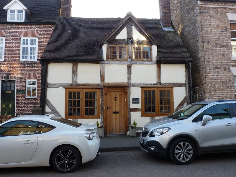
1.
1954 MUCH WENLOCK
BARROW STREET
(South Side)
No 34
SO 69 NW (SJ 6200) 6/21
II
2.
Dated 1661. C19 roughcast to C17 timber frame; single storey plus attic;
2 modern casement windows; early C19 simple doorcase. The gable is of
exposed timber and plaster, with above date and initials on tie-beam.
Old tiles.
Listing NGR: SO6248099812
External links are from the relevant listing authority and, where applicable, Wikidata. Wikidata IDs may be related buildings as well as this specific building. If you want to add or update a link, you will need to do so by editing the Wikidata entry.


Other nearby listed buildings