Approximate Location Map
Large Map »
Latitude: 52.6426 / 52°38'33"N
Longitude: -2.4889 / 2°29'20"W
OS Eastings: 367013
OS Northings: 305092
OS Grid: SJ670050
Mapcode National: GBR BW.6MYQ
Mapcode Global: WH9D8.QVZ0
Plus Code: 9C4VJGV6+2C
Entry Name: The Old Wind
Listing Date: 9 August 1974
Grade: II
Source: Historic England
Source ID: 1054131
English Heritage Legacy ID: 361932
ID on this website: 101054131
Location: Coalbrookdale, Telford and Wrekin, Shropshire, TF8
County: Telford and Wrekin
Civil Parish: The Gorge
Built-Up Area: Telford
Traditional County: Shropshire
Lieutenancy Area (Ceremonial County): Shropshire
Church of England Parish: Coalbrookdale
Church of England Diocese: Hereford
Tagged with: Building
COALBROOKDALE CHERRY TREE HILL
1.
5362 The Old Wind
SJ 60 NE 31/71 9.8.74
II
2.
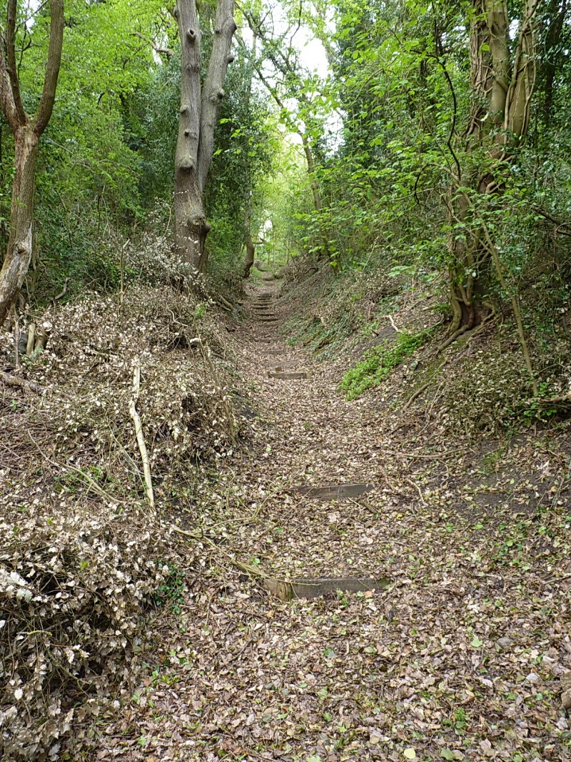
Circa mid-C19 incline formerly used, with winding gear, for transportation between
the canal system above and the railway system below. Now overgrown with grass and
trees. Included for industrial archaeological interest.
Listing NGR: SJ6701305092
External links are from the relevant listing authority and, where applicable, Wikidata. Wikidata IDs may be related buildings as well as this specific building. If you want to add or update a link, you will need to do so by editing the Wikidata entry.


Other nearby listed buildings
