Latitude: 52.8607 / 52°51'38"N
Longitude: -3.0543 / 3°3'15"W
OS Eastings: 329114
OS Northings: 329762
OS Grid: SJ291297
Mapcode National: GBR 73.RW09
Mapcode Global: WH89X.1CV9
Plus Code: 9C4RVW6W+77
Entry Name: The Bailey Head
Listing Date: 15 May 1986
Grade: II
Source: Historic England
Source ID: 1054354
English Heritage Legacy ID: 255476
ID on this website: 101054354
Location: Croesoswallt, Shropshire, SY11
County: Shropshire
Civil Parish: Oswestry
Built-Up Area: Croesowallt
Traditional County: Shropshire
Lieutenancy Area (Ceremonial County): Shropshire
Church of England Parish: Oswestry St Oswald King and Martyr
Church of England Diocese: Lichfield
Tagged with: Inn
This list entry was subject to a Minor Amendment on 13 February 2025 to amend the name and address and reformat the text to current standards.
SJ 2929 NW
14/13
OSWESTRY C.P.
BAILEY HEAD (east side)
The Bailey Head
(Formerly listed as The Eagles Inn)
GV
II
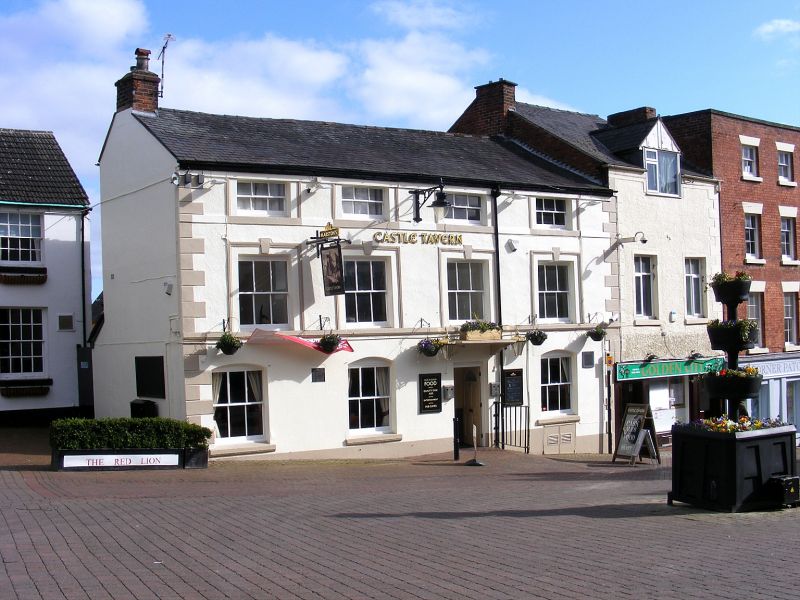
House, now inn. Mid-C19 re-fronting of late C18 building. Stuccoed and rendered red brick with angle quoins, slate roof and brick end stacks. Three storeys, moulded eaves cornice and floor bands; four window front, six-paned sashes with horns in moulded stone surrounds with projecting keystones to first floor and with segmental heads to ground floor; entrance in third bay from left, four-panel door with rectangular overlight and bracketed stone hood.
Listing NGR: SJ2911429762
External links are from the relevant listing authority and, where applicable, Wikidata. Wikidata IDs may be related buildings as well as this specific building. If you want to add or update a link, you will need to do so by editing the Wikidata entry.


Other nearby listed buildings