Latitude: 51.2811 / 51°16'52"N
Longitude: 0.6205 / 0°37'13"E
OS Eastings: 582856
OS Northings: 156817
OS Grid: TQ828568
Mapcode National: GBR QSH.MQ4
Mapcode Global: VHJMG.P2X6
Plus Code: 9F327JJC+F6
Entry Name: Brushings Farmhouse
Listing Date: 21 October 1987
Grade: II
Source: Historic England
Source ID: 1054896
English Heritage Legacy ID: 174356
ID on this website: 101054896
Location: Broad Street, Maidstone, Kent, ME17
County: Kent
District: Maidstone
Civil Parish: Hollingbourne
Traditional County: Kent
Lieutenancy Area (Ceremonial County): Kent
Tagged with: Farmhouse
HOLLINGBOURNE BROAD STREET TQ 85 NW
1/128 Brushings Farmhouse
GV II
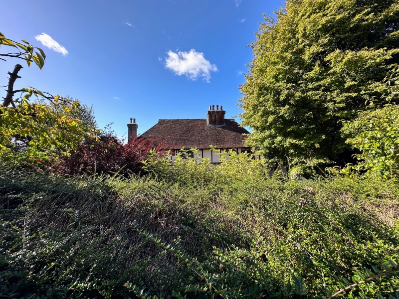
Farmhouse. Early C16 or earlier. Timber framed with exposed studding and plaster infilling. Plain tile roof. 4 timber-framed bays. Possibly a Wealden. 2 storeys. Continuous jetty [jetty to centre bays inserted). Broadly spaced close. studding to first floor of end bays, with tension braces. Hipped roof with gablets. Projecting brick stack to left end, with flint base and brick dressings. Multiple brick stack in front slope of roof towards right. Slender projecting stack to right end. Irregular fenestration of 5 leaded casements; one 3-light to each end bay, one 2-light to left hall bay, and 2 small single lights. Interior not inspected.
Listing NGR: TQ8285656816
External links are from the relevant listing authority and, where applicable, Wikidata. Wikidata IDs may be related buildings as well as this specific building. If you want to add or update a link, you will need to do so by editing the Wikidata entry.


Other nearby listed buildings