Latitude: 51.1632 / 51°9'47"N
Longitude: -3.3216 / 3°19'17"W
OS Eastings: 307682
OS Northings: 141270
OS Grid: ST076412
Mapcode National: GBR LR.6SDV
Mapcode Global: VH6GW.C1V3
Plus Code: 9C3R5M7H+78
Entry Name: Mason's Arms Public House
Listing Date: 21 December 1984
Grade: II
Source: Historic England
Source ID: 1057490
English Heritage Legacy ID: 265003
Also known as: Masons Arms
ID on this website: 101057490
Location: Williton, Somerset, TA4
County: Somerset
District: Somerset West and Taunton
Civil Parish: Williton
Built-Up Area: Williton
Traditional County: Somerset
Lieutenancy Area (Ceremonial County): Somerset
Tagged with: Pub Thatched pub
ST04SE WILLITON CP NORTH STREET (North side)
2/237 Mason's Arms Public House
-
- II
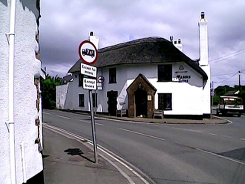
Farmhouse, now public house. C17, enlarged and altered mid C19, extensively altered internally mid C20. Roughcast over rubble, thatched roof half hipped at South end, rendered stacks West gable end, on East front right gable end, to left of cross passage and large external stepped stack left. V-plan at road junction, originally 3 cell and cross passage facing East (Doniford Road), enlarged by 3 bays, addition at an angle facing South West onto the Watchet road, now internally much altered. East front: one and a half storeys, irregular fenestration, all Cl9 and C20 windows, one eybrow dormer, 2 casements to right, groundfloor large external stack to right of 2-light casement, 3 windows left and 2 right of C20 thatched gabled porch. Left return fronting the Watchet road, angled site, 4 bays, all C20 fenestration, C19 gabled red sandstone ashlar porch with segmental headed opening second bay right, red sandstone rusticated surround to plank door left. Interior: only groundfloor viewed, much altered. Although extensively altered, the thatched roof and chimneys of the Mason's Arms form an important landscape feature at the Northern exit from Williton. The earlier farmhouse was probably converted into an inn in the late C18-early C19 when the turnpike, situated some 20 metres South, regulated the road traffic. North Street was known as Shutgate Street until the 1970s because of the turnpike.
Listing NGR: ST0768241270
External links are from the relevant listing authority and, where applicable, Wikidata. Wikidata IDs may be related buildings as well as this specific building. If you want to add or update a link, you will need to do so by editing the Wikidata entry.


Other nearby listed buildings