Latitude: 52.9525 / 52°57'9"N
Longitude: -0.7262 / 0°43'34"W
OS Eastings: 485678
OS Northings: 340217
OS Grid: SK856402
Mapcode National: GBR CN3.WRW
Mapcode Global: WHFJ9.T1DW
Plus Code: 9C4XX73F+2G
Entry Name: Cross
Listing Date: 16 August 1984
Grade: II
Source: Historic England
Source ID: 1062904
English Heritage Legacy ID: 193890
ID on this website: 101062904
Location: Allington, South Kesteven, Lincolnshire, NG32
County: Lincolnshire
District: South Kesteven
Civil Parish: Allington
Built-Up Area: Allington
Traditional County: Lincolnshire
Lieutenancy Area (Ceremonial County): Lincolnshire
Church of England Parish: West Allington Holy Trinity
Church of England Diocese: Lincoln
SK 8440-8540 ALLINGTON MAIN STREET (village green)
11/1 Cross
G.V. II
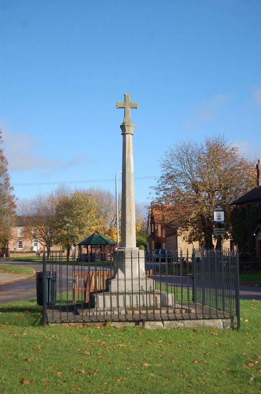
Cross, C15, C20 limestone. Plinth of 3 steps, high octagonal base with broaches, part of shaft C15, remainder C20. C15 octagonal knop with C20 cross above.
Listing NGR: SK8567840217


Other nearby listed buildings