Approximate Location Map
Large Map »
Latitude: 51.376 / 51°22'33"N
Longitude: -0.0158 / 0°0'56"W
OS Eastings: 538194
OS Northings: 165976
OS Grid: TQ381659
Mapcode National: GBR L8.0PB
Mapcode Global: VHGRM.NPZ0
Plus Code: 9C3X9XGM+CM
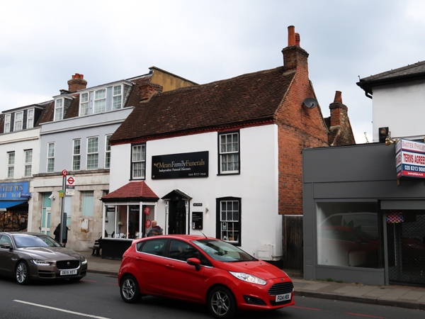
Entry Name: 18, High Street
Listing Date: 29 June 1973
Grade: II
Source: Historic England
Source ID: 1064381
English Heritage Legacy ID: 358494
ID on this website: 101064381
Location: West Wickham, Bromley, London, BR4
County: London
District: Bromley
Electoral Ward/Division: West Wickham
Parish: Non Civil Parish
Built-Up Area: Bromley
Traditional County: Kent
Lieutenancy Area (Ceremonial County): Greater London
Church of England Parish: West Wickham St Francis of Assisi
Church of England Diocese: Southwark
Tagged with: Building
1. HIGH STREET, WEST WICKHAM
4407
No 16
TQ 36 NE 2/24
II
2.
Early C19. Stuccoed with 2 storeys and 2 windows. Tiled roof and cogging
eaves cornice. Doorway with pilasters, pediment and rectangular fanlight.
Later shop front to the left of this. Otherwise glazing bars intact.
Listing NGR: TQ4038668723
External links are from the relevant listing authority and, where applicable, Wikidata. Wikidata IDs may be related buildings as well as this specific building. If you want to add or update a link, you will need to do so by editing the Wikidata entry.


Other nearby listed buildings
