Latitude: 51.5298 / 51°31'47"N
Longitude: -0.0549 / 0°3'17"W
OS Eastings: 535022
OS Northings: 183008
OS Grid: TQ350830
Mapcode National: GBR J8.8TW
Mapcode Global: VHGQV.0TB3
Plus Code: 9C3XGWHW+W2
Entry Name: Garden Wall
Listing Date: 27 September 1973
Grade: II
Source: Historic England
Source ID: 1065100
English Heritage Legacy ID: 206153
ID on this website: 101065100
Location: Bethnal Green, Tower Hamlets, London, E2
County: London
District: Tower Hamlets
Electoral Ward/Division: St Peter's
Parish: Non Civil Parish
Built-Up Area: Tower Hamlets
Traditional County: Middlesex
Lieutenancy Area (Ceremonial County): Greater London
Church of England Parish: St John on Bethnal Green
Church of England Diocese: London
Tagged with: Wall
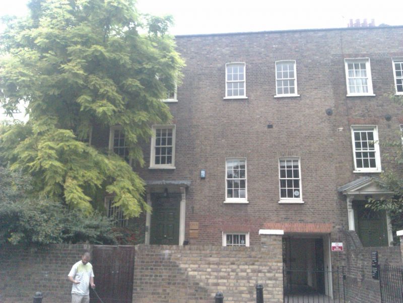
1. OLD FORD ROAD E2
4431 (North Side)
Garden Wall at
No 15
TQ 3582 10/196
II GV
2.
C18. Stock brick garden wall. Western part remains intact.
The Terrace, No 5 (Netteswell House) and Nos 15 to 21 (odd) form a group with
the Church and Priory of Our Lady of the Assumption, Victoria Park Square.
Listing NGR: TQ3502283008
External links are from the relevant listing authority and, where applicable, Wikidata. Wikidata IDs may be related buildings as well as this specific building. If you want to add or update a link, you will need to do so by editing the Wikidata entry.


Other nearby listed buildings