Latitude: 51.521 / 51°31'15"N
Longitude: -0.0673 / 0°4'2"W
OS Eastings: 534184
OS Northings: 182004
OS Grid: TQ341820
Mapcode National: GBR Y8.0X
Mapcode Global: VHGR0.S189
Plus Code: 9C3XGWCM+C3
Entry Name: Garden Wall at St Anne's Presbytery
Listing Date: 27 September 1973
Grade: II
Source: Historic England
Source ID: 1065840
English Heritage Legacy ID: 206303
Also known as: Underwood Road E1 5AW
ID on this website: 101065840
Location: Spitalfields, Tower Hamlets, London, E1
County: London
District: Tower Hamlets
Electoral Ward/Division: Spitalfields & Banglatown
Parish: Non Civil Parish
Built-Up Area: Tower Hamlets
Traditional County: Middlesex
Lieutenancy Area (Ceremonial County): Greater London
Church of England Parish: Christ Church Spitalfields
Church of England Diocese: London
Tagged with: Wall
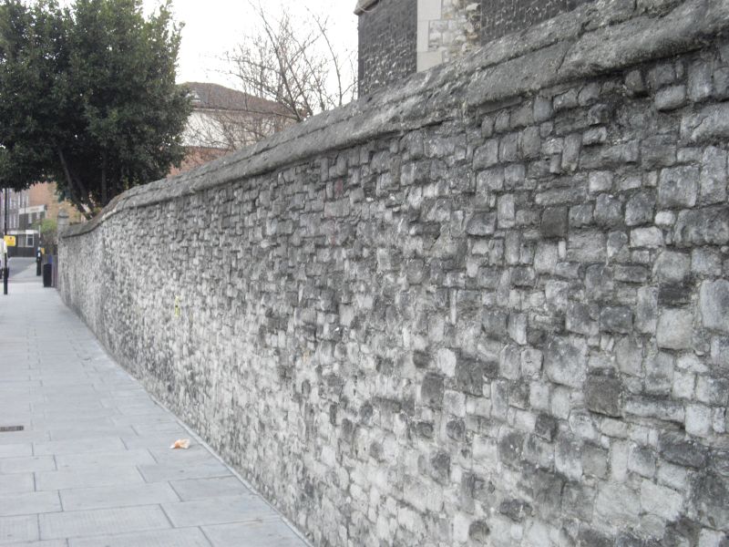
1. UNDERWOOD ROAD E1 4431 (South Side) Garden Wall at St Anne's Presbytery TQ 3482 9/163 TQ 3481 15/163 II GV 2. Mid C19. High garden boundary wall of Kentish ragstone extends down Deal Street boundary.
St Anne's Church, Presbytery and Presbytery garden wall form a group associated with that on Deal Street.
Listing NGR: TQ3418482004
External links are from the relevant listing authority and, where applicable, Wikidata. Wikidata IDs may be related buildings as well as this specific building. If you want to add or update a link, you will need to do so by editing the Wikidata entry.


Other nearby listed buildings