Latitude: 51.7887 / 51°47'19"N
Longitude: -1.6781 / 1°40'41"W
OS Eastings: 422296
OS Northings: 210050
OS Grid: SP222100
Mapcode National: GBR 5T0.VYX
Mapcode Global: VHBZY.V9PN
Plus Code: 9C3WQ8QC+FP
Entry Name: Richard Webb Tomb About 4 Metres West of South West Corner of Church of St Mary
Listing Date: 1 March 1990
Grade: II
Source: Historic England
Source ID: 1065998
English Heritage Legacy ID: 422418
ID on this website: 101065998
Location: St Mary's Church, Westwell, West Oxfordshire, OX18
County: Oxfordshire
District: West Oxfordshire
Civil Parish: Westwell
Traditional County: Oxfordshire
Lieutenancy Area (Ceremonial County): Oxfordshire
Church of England Parish: Westwell
Church of England Diocese: Oxford
Tagged with: Building
WESTWELL SP21SW Richard Webb tomb 1/305 about 4m west of SW corner of Church of St Mary
GV II
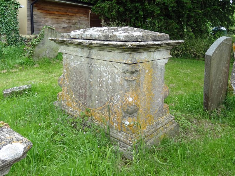
Chest tomb. Richard Webb died 1806. Ashlar, moulded plinth and cornice, corner quarter balusters and hipped capping, oval panels with carved enrichments to corners.
Listing NGR: SP2229510056
External links are from the relevant listing authority and, where applicable, Wikidata. Wikidata IDs may be related buildings as well as this specific building. If you want to add or update a link, you will need to do so by editing the Wikidata entry.


Other nearby listed buildings