Latitude: 51.2711 / 51°16'16"N
Longitude: 1.2136 / 1°12'49"E
OS Eastings: 624260
OS Northings: 157347
OS Grid: TR242573
Mapcode National: GBR VZS.7N0
Mapcode Global: VHLGP.Z9GX
Plus Code: 9F3376C7+CF
Entry Name: The Vicarage
Listing Date: 11 October 1963
Grade: II*
Source: Historic England
Source ID: 1070101
English Heritage Legacy ID: 178379
ID on this website: 101070101
Location: Wingham, Dover, Kent, CT3
County: Kent
District: Dover
Civil Parish: Wingham
Built-Up Area: Wingham
Traditional County: Kent
Lieutenancy Area (Ceremonial County): Kent
Tagged with: Clergy house
TR 2457 WINGHAM SCHOOL LANE (East Side)
9/347 The Vicarage 11.10.63 GV II*
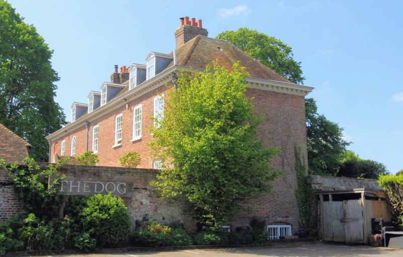
Vicarage house. Mid C18. Red brick and plain tiled roof. Two storeys and attic on basement, with sunk panelled plinth with moulded wooden modillion eaves cornice, with central projecting pedimented 3 bay section, with in pediment, and hipped roof with 4 pedimented dormers and stacks to left and to right. Regular fenestration of 9 glazing bar sashes on first floor and 8 on ground floor all with gauged heads. Central door of 6 raised and fielded panels with traceried semi- circular fanlight and open pediment on Doric columns with blocks of entablature. A fine building of generous proportions, it stands on site of Wingham College buildings burnt c.1660, foundations of which survive in the grounds.
Listing NGR: TR2426057347
External links are from the relevant listing authority and, where applicable, Wikidata. Wikidata IDs may be related buildings as well as this specific building. If you want to add or update a link, you will need to do so by editing the Wikidata entry.


Other nearby listed buildings