Latitude: 51.2608 / 51°15'38"N
Longitude: 1.2649 / 1°15'53"E
OS Eastings: 627883
OS Northings: 156355
OS Grid: TR278563
Mapcode National: GBR VZV.W1Y
Mapcode Global: VHLGQ.WK1V
Plus Code: 9F337767+8W
Entry Name: House About 20 Metres East of Chalk Pit House
Listing Date: 26 November 1987
Grade: II
Source: Historic England
Source ID: 1070108
English Heritage Legacy ID: 178399
ID on this website: 101070108
Location: Barnsole, Dover, Kent, CT3
County: Kent
District: Dover
Civil Parish: Woodnesborough
Traditional County: Kent
Lieutenancy Area (Ceremonial County): Kent
Tagged with: House
This list entry was subject to a Minor Amendment on 31 March 2026 to update the Name and Address and reformat the text to current standards
TR 25 NE
5/367
WOODNESBOROUGH
BARNSOLE ROAD (East Side)
Chalk House Farm
(Formerly listed as House about 20 metres east of Chalk Pit House)
GV
II
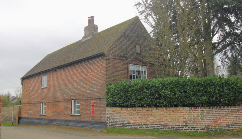
House. Late C17 and mid C19 altered mid C20. Red brick and plain tiled roof. Two storeys on plinth with central stack. Rib and stud door with sidelight to right. Projecting C19 wing to right with end stack. Two metal casements on first floor, and one on ground floor with rib and stud door and flat hood and sidelight at re-entrant to main range. Left return with plinth and brick cornice, and one metal casement on each floor in basket arched openings. Rear elevations with plinth, plat band and cornice. Date stone on left return, initialed E R with date illegible.
Included for group value.
Listing NGR: TR2986156939
External links are from the relevant listing authority and, where applicable, Wikidata. Wikidata IDs may be related buildings as well as this specific building. If you want to add or update a link, you will need to do so by editing the Wikidata entry.


Other nearby listed buildings